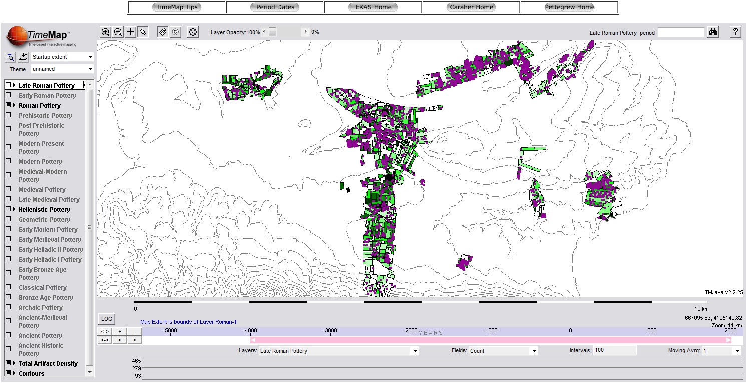
A new effort is underway to publish the results of the Eastern Korinthia Archaeological Survey, the interdisciplinary regional survey of the Isthmian territory of Corinth, Greece, carried out between 1997 and 2003, with study seasons between 2004 and the present. The data and findings of the survey are being prepared for final publication in three phases: 1) the release of the archaeological datasets from the survey through Open Context (Pettegrew, Gregory, Pullen, Rothaus, and Tartaron 2021); 2) a linked digital book providing an overview of the history, data, and major patterns of the project (Pettegrew, in preparation); and 3) an edited collection of interpretive essays (in formulation).
The Eastern Korinthia Archaeological Survey was an intensive survey on the Corinthian Isthmus–one of the busiest and richest archaeological regions in all of Greece–directed by Timothy Gregory (The Ohio State University) and Daniel Pullen (Florida State Unviersity), with the support of Thomas Tartaron (field director) and other field archaeologists and specialists. The project carried out most of its work in the area between the village of Hexamilia, the Panhellenic Sanctuary of Poseidon at Isthmia, and the ancient harbor town at Kenchreai, but survey work was also undertaken in a few select parts of the southeastern territory. The project grew out of previous investigations in the eastern territory and led to a number of substantial subsequent archaeological investigations: the cemetery on the Koutsongila Ridge near Kenchreai (Kenchreai Cemetery Project), the Saronic Harbors Archaeological Research Project, rural sites such as Kato Vayia and Ano Vayia, and the modern semi-abandoned village at Lakka Skoutara.
The EKAS material is extensively published. Important articles outlining the methods and interpretive frameworks of the project, as well as the major findings, have been published in journals such as Antiquity, Journal of Mediterranean Archaeology, International Journal of Historical Archaeology, and Hesperia, as well as a number of edited books. A general introduction to the project, including its scope, objectives, and methods, is available in Tartaron et al. The Eastern Korinthia Archaeological Survey: Integrated Methods for a Dynamic Landscape. A comprehensive listing of relevant publications is now available at Open Context.
For more information about the EKAS project, contact David Pettegrew.
Eastern Korinthia Survey Slideshow
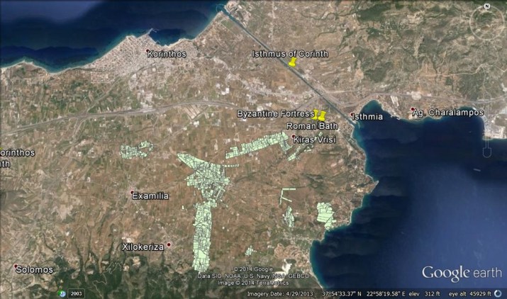
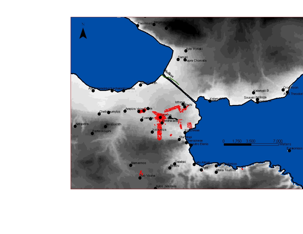
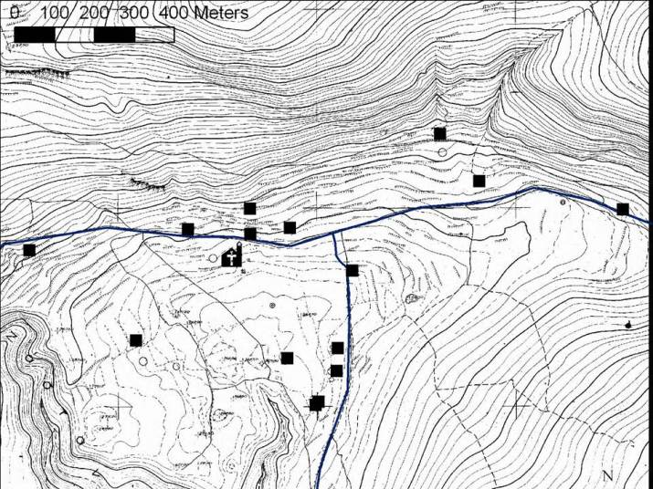
Map of Eastern Korinthia Archaeological Survey Units on Isthmus of Corinth 
The Main Transect of the Eastern Korinthia Archaeological Survey (1999-2001) 
Dan Sarefield, Yiannis, and Panayiotis (1999) 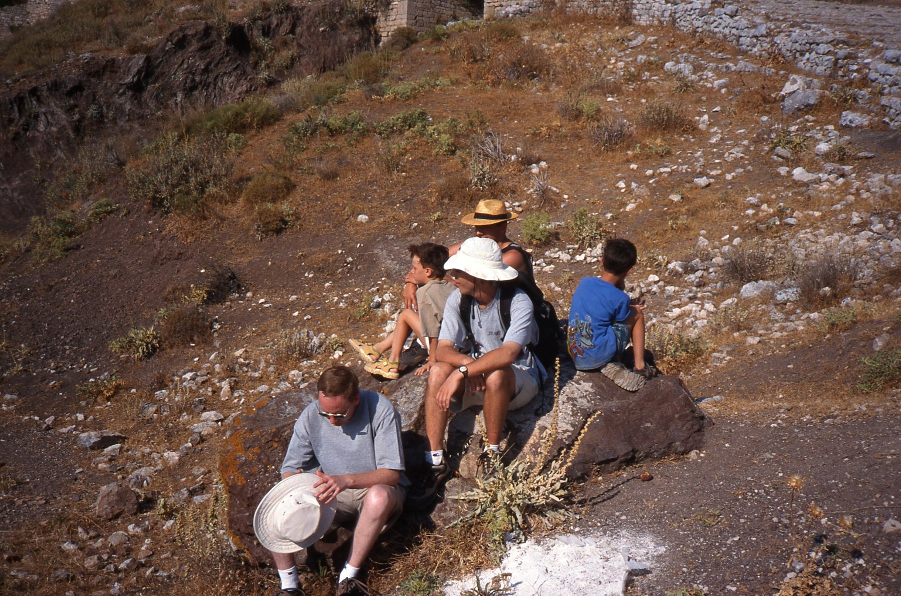
Jack Wells, W. Caraher, D. Sarefield, and Yiannis and Panayiotis (1999) 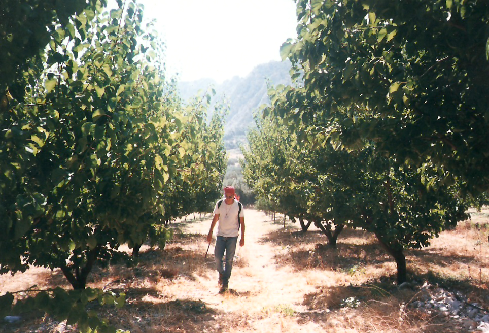
D. Nakassis walking transect on Isthmus 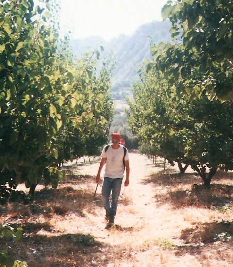
D. Nakassis walking transect 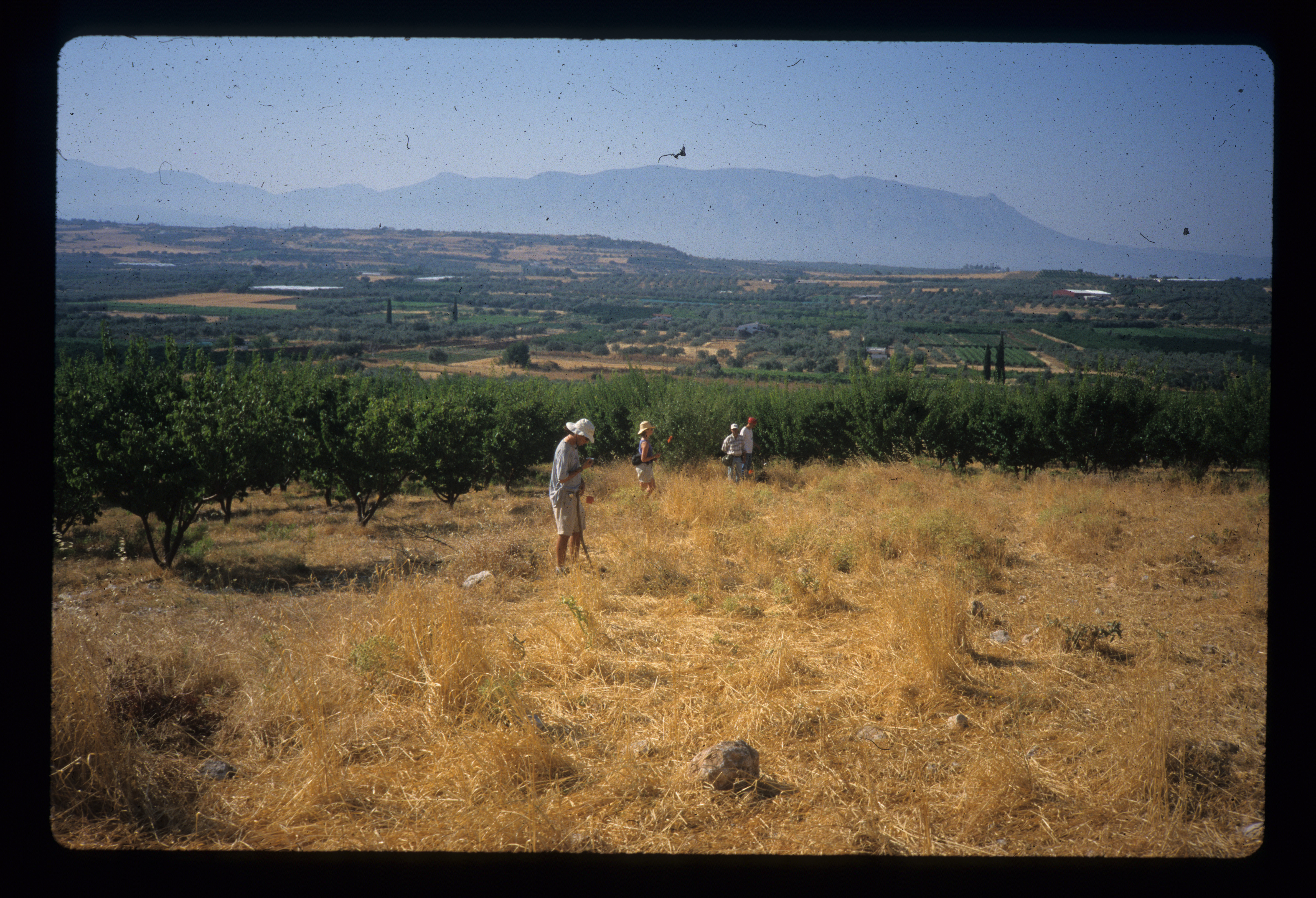
Field team prepare to survey field on Isthmus 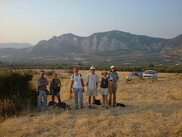
Field team in 1999, Mt. Oneion in background 
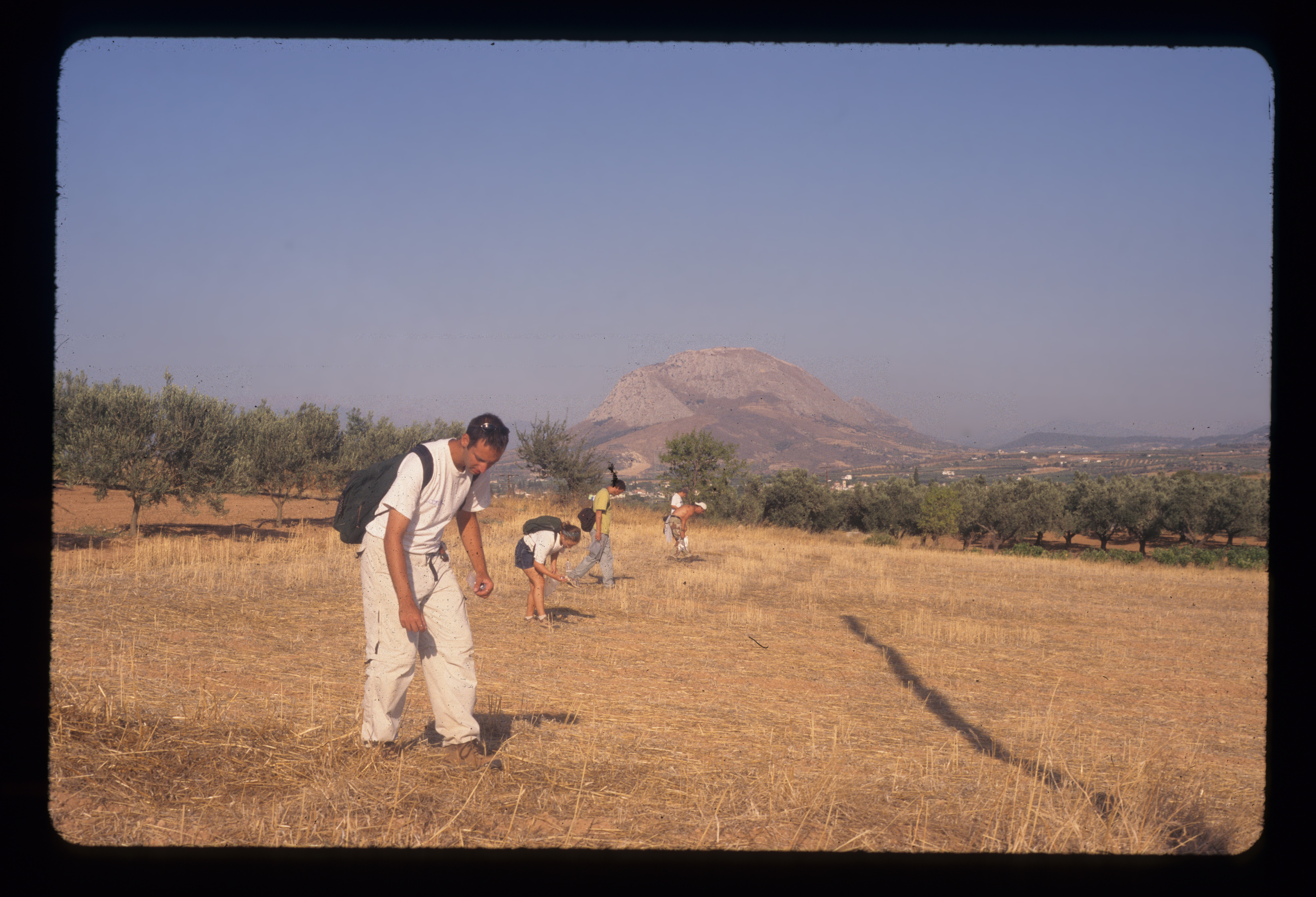
Team surveying grain stubble field near Kenchreai 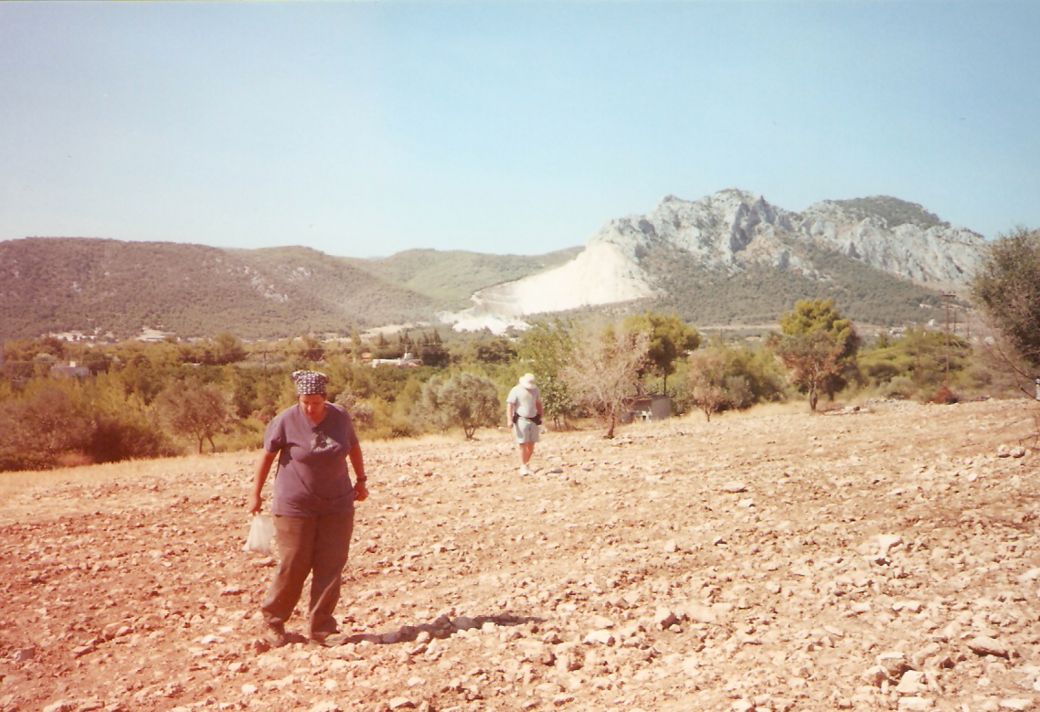
K. Panagakos and team survey Isthmus 
Field team prepares to survey grain stubble field near Kenchreai 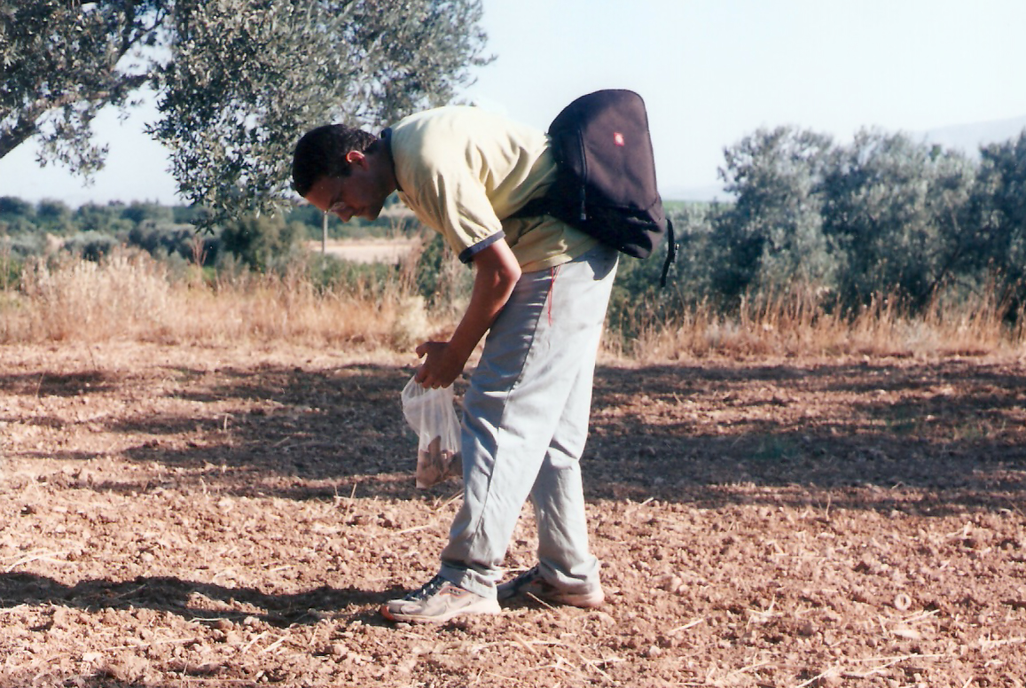
Dan Sarefield collecting artifacts (2001) 

Field team surveys stubble field on Isthmus with Acrocorinth looming 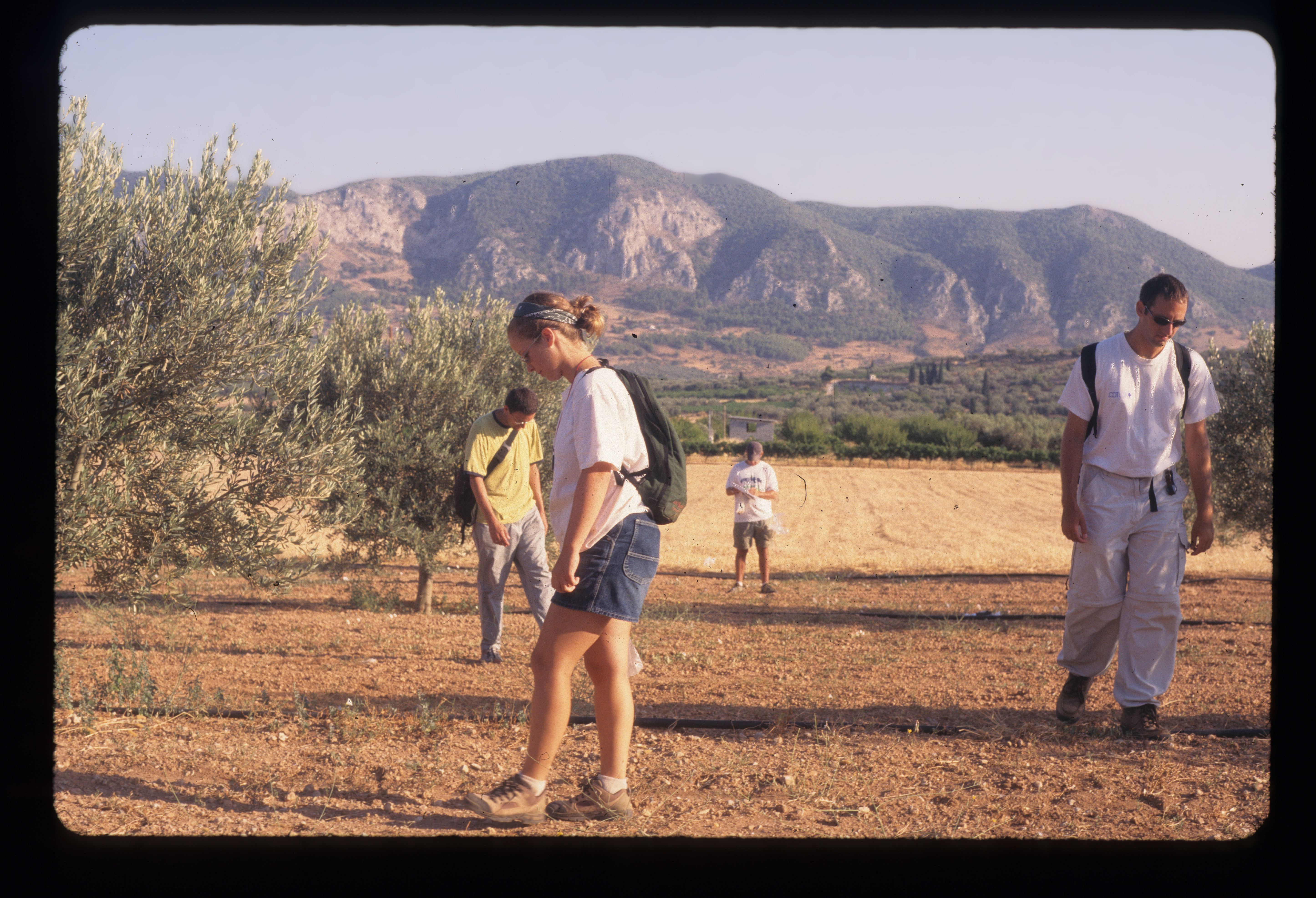
Finishing a survey transect on the Isthmus 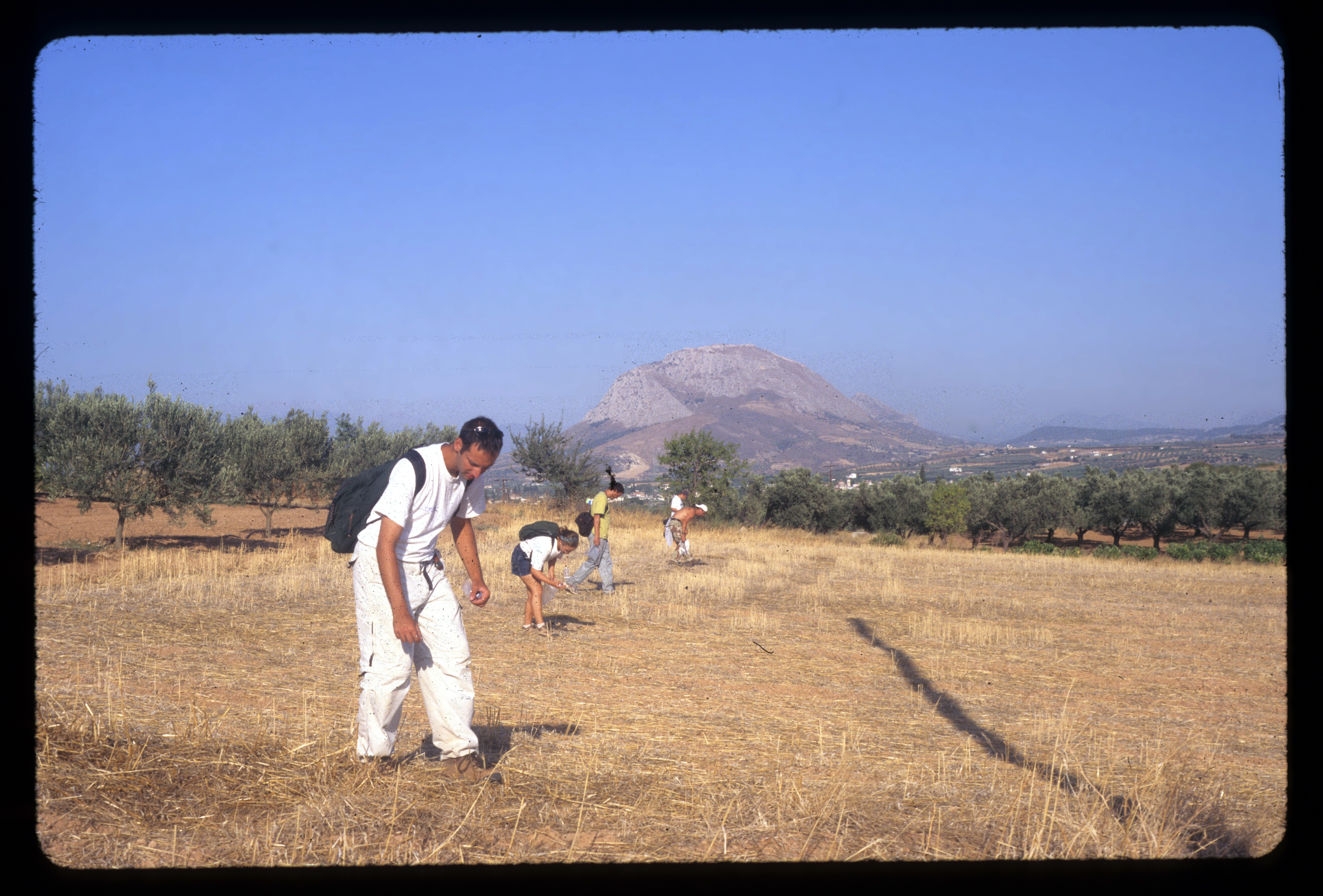
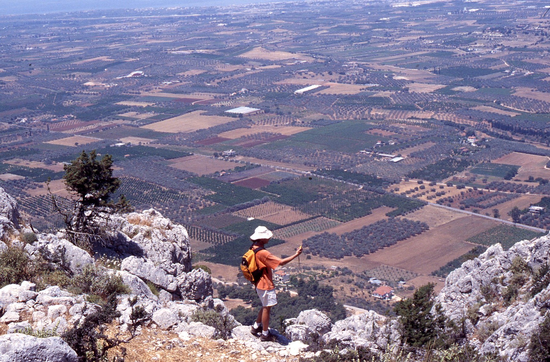
Surveying the Isthmus 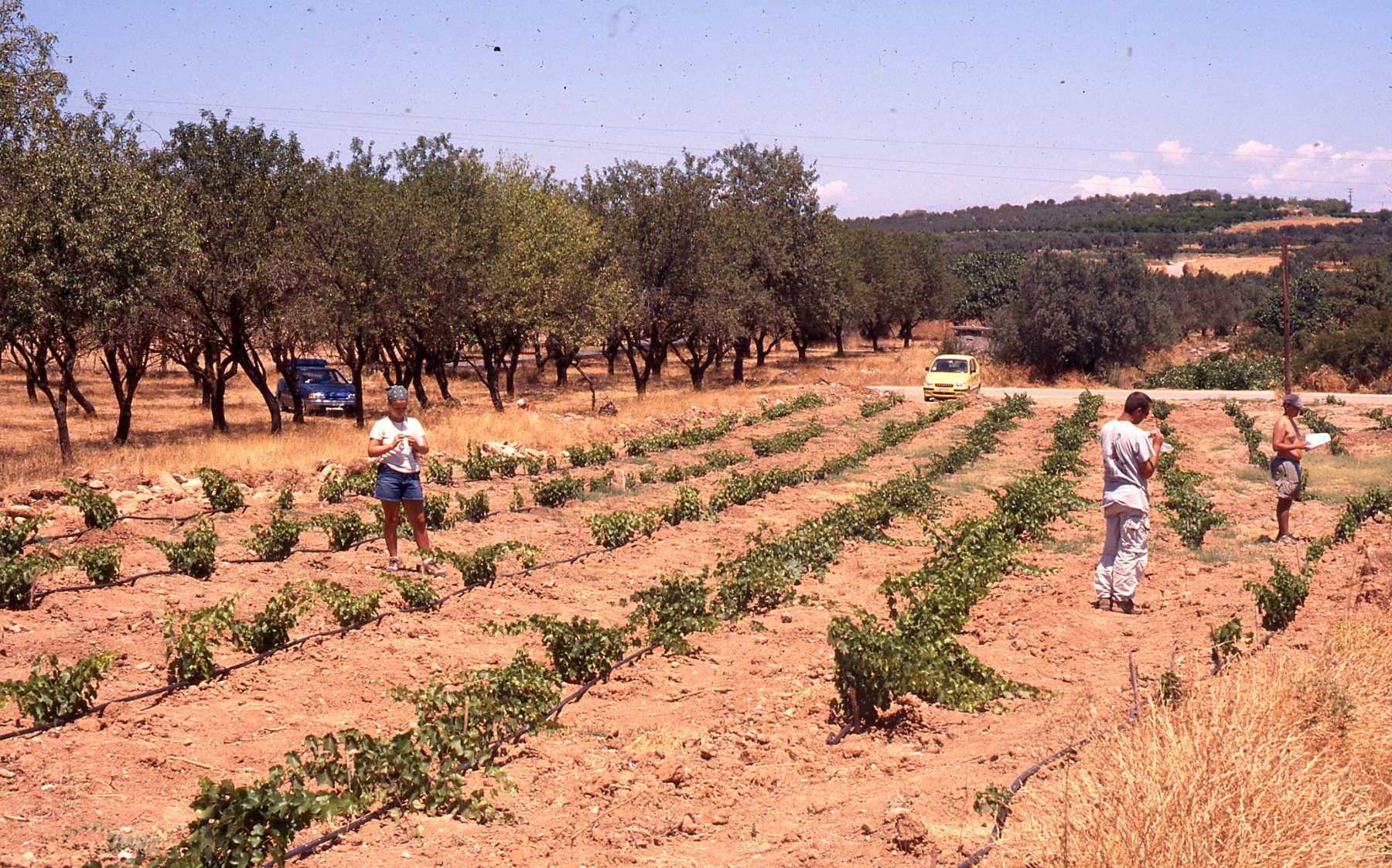
Field team recording at Roman villa below Perdhikaria (2001) 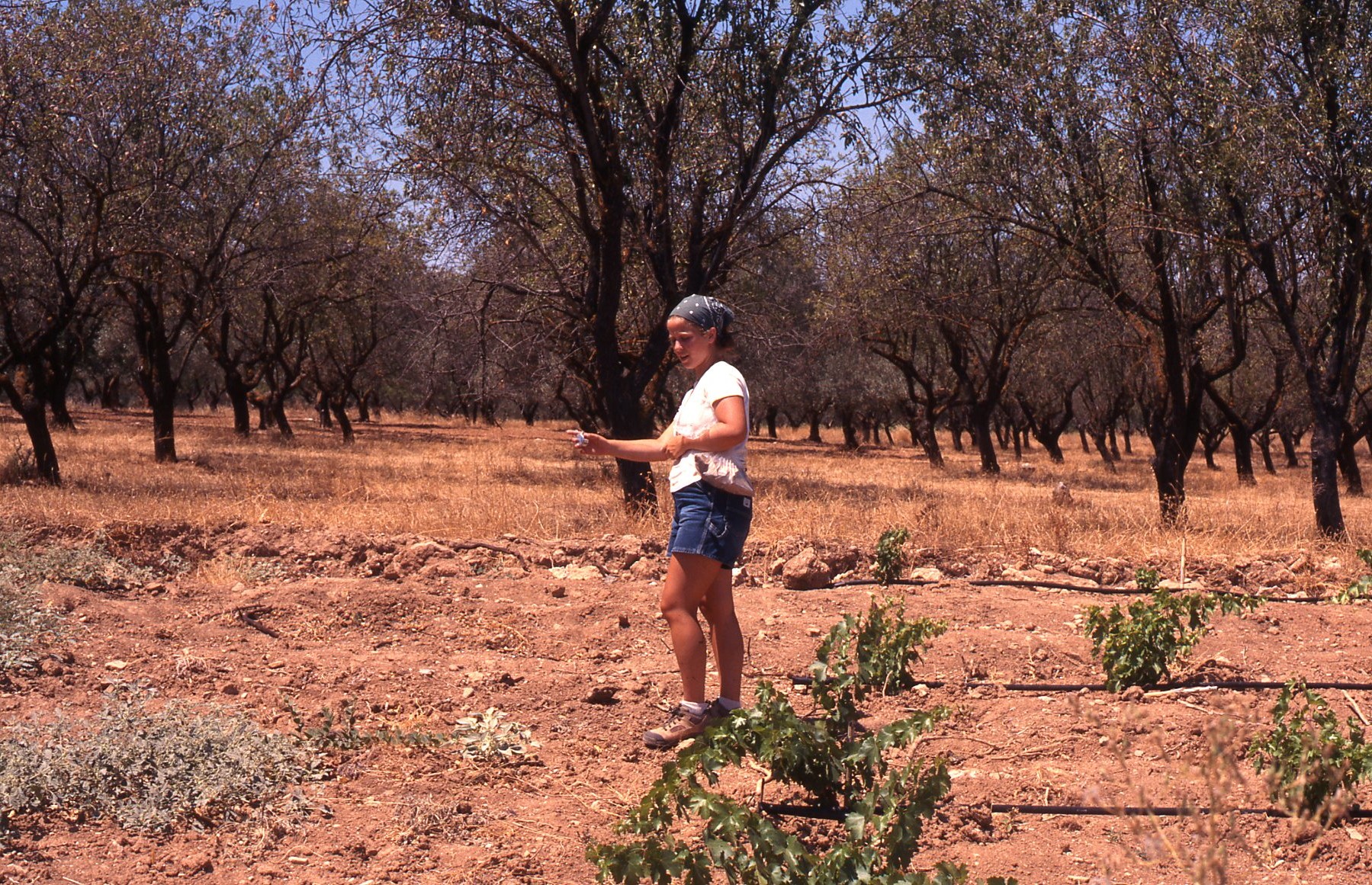
Missy recording at Roman villa below Perdhikaria 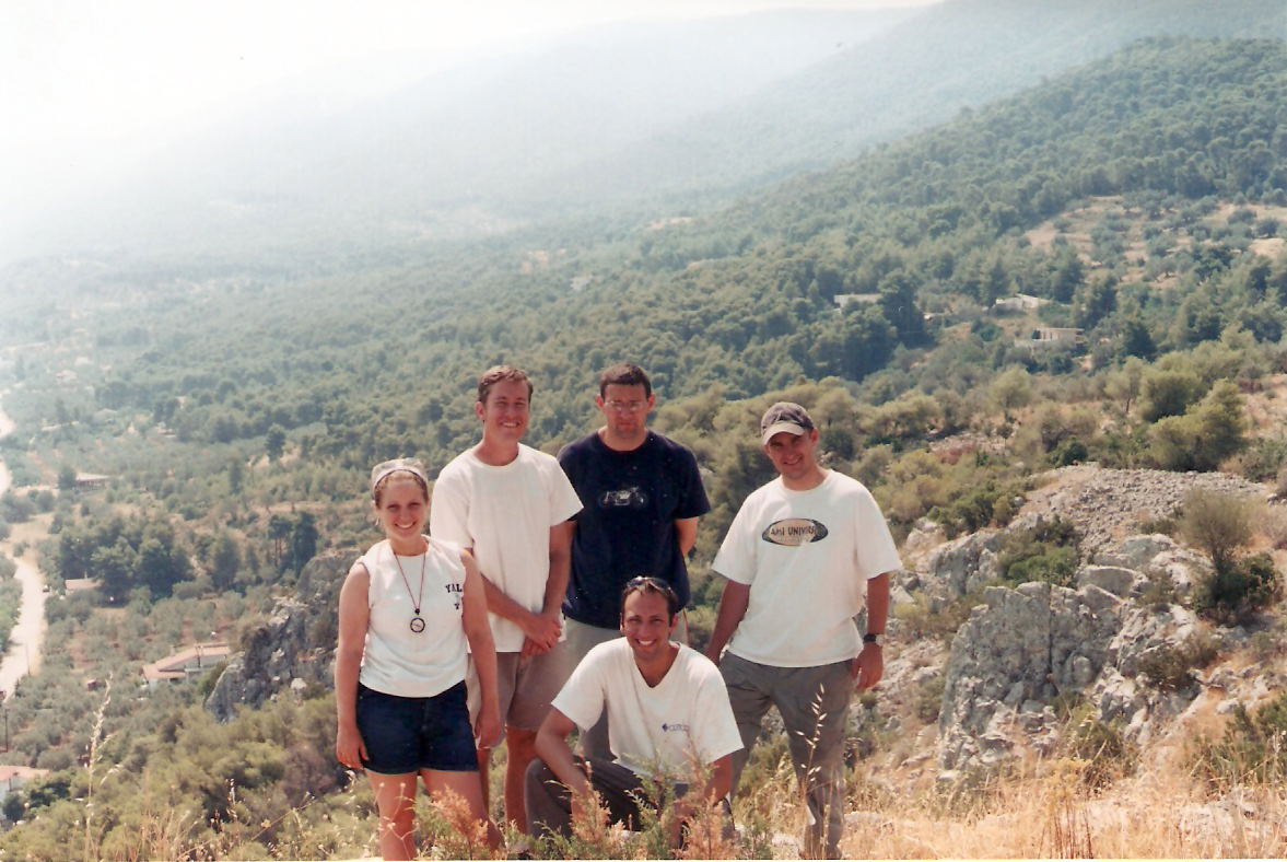
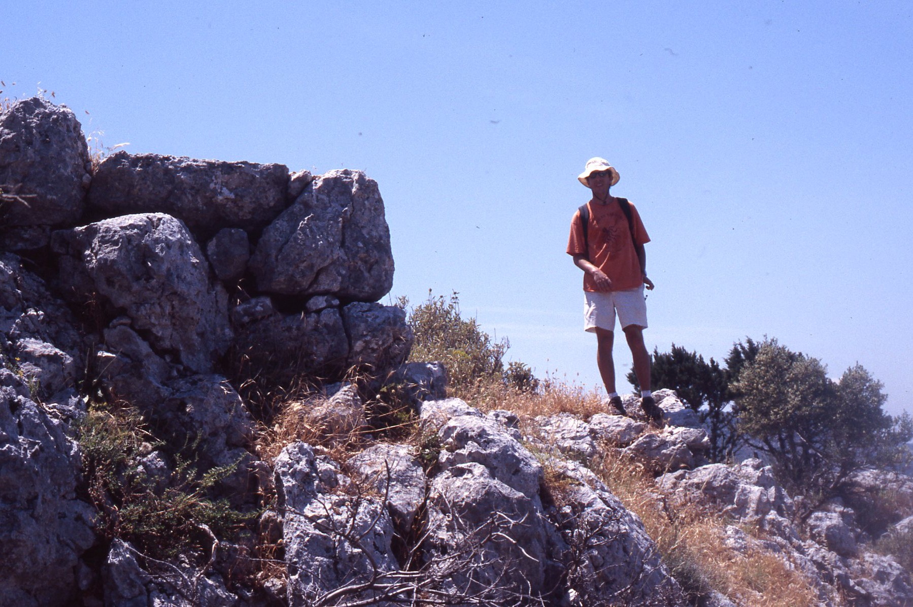
Field team at Vigla overlooking lowland pass to southern Corinthia 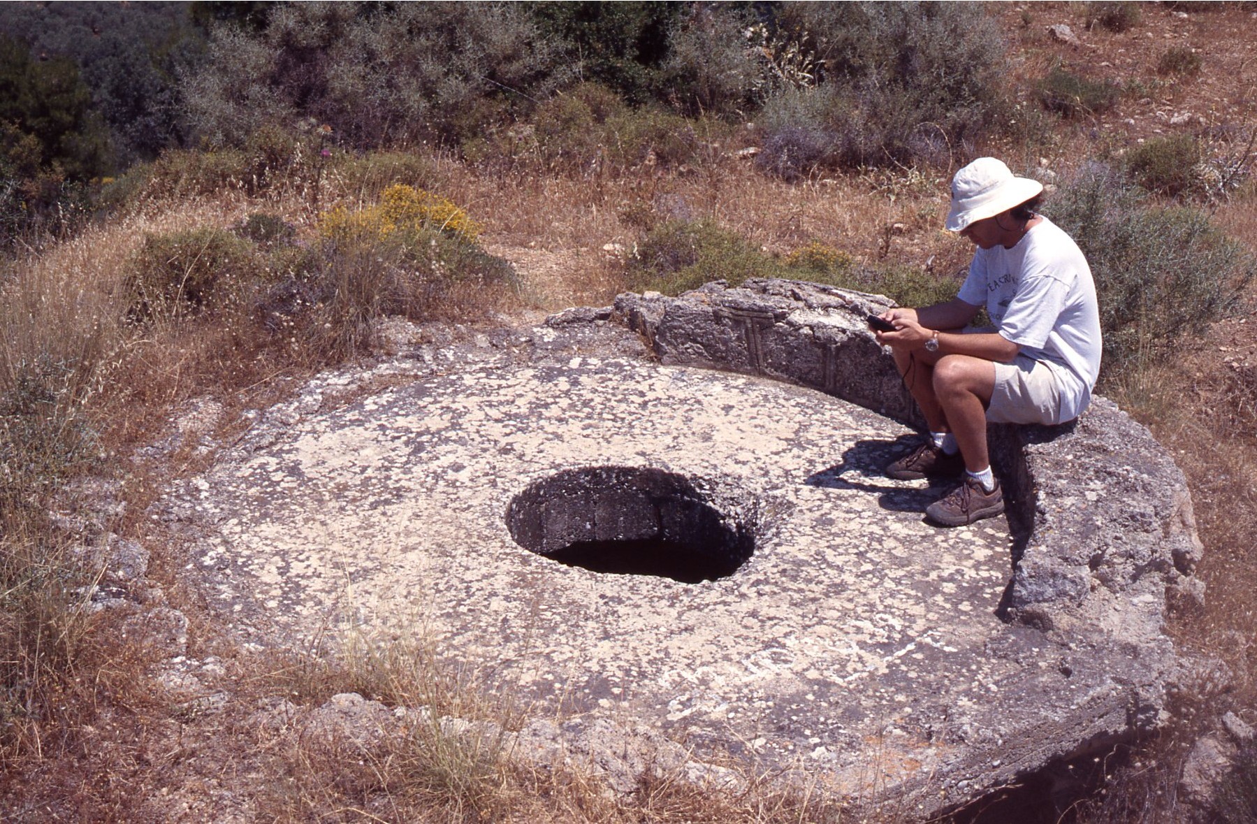
W. Caraher recording 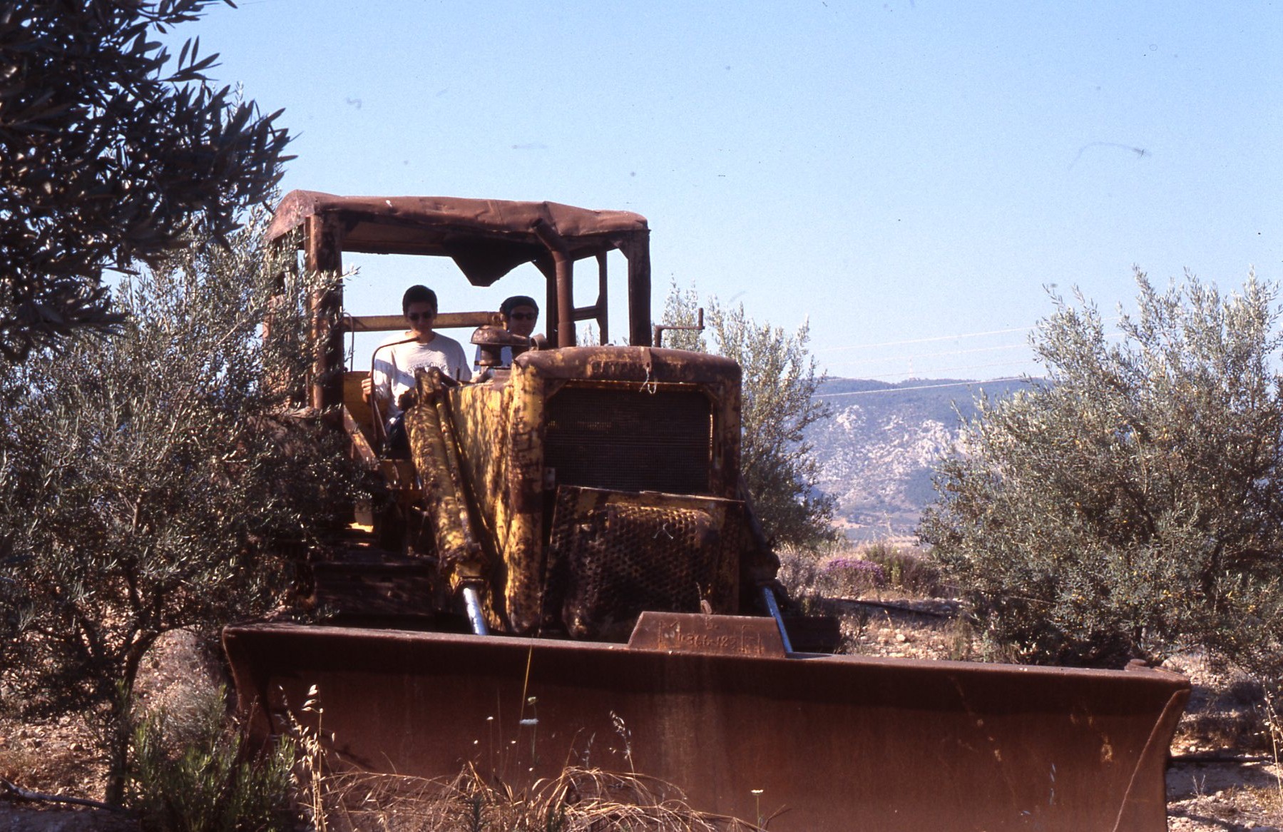
A modern find near the Kromna quarries 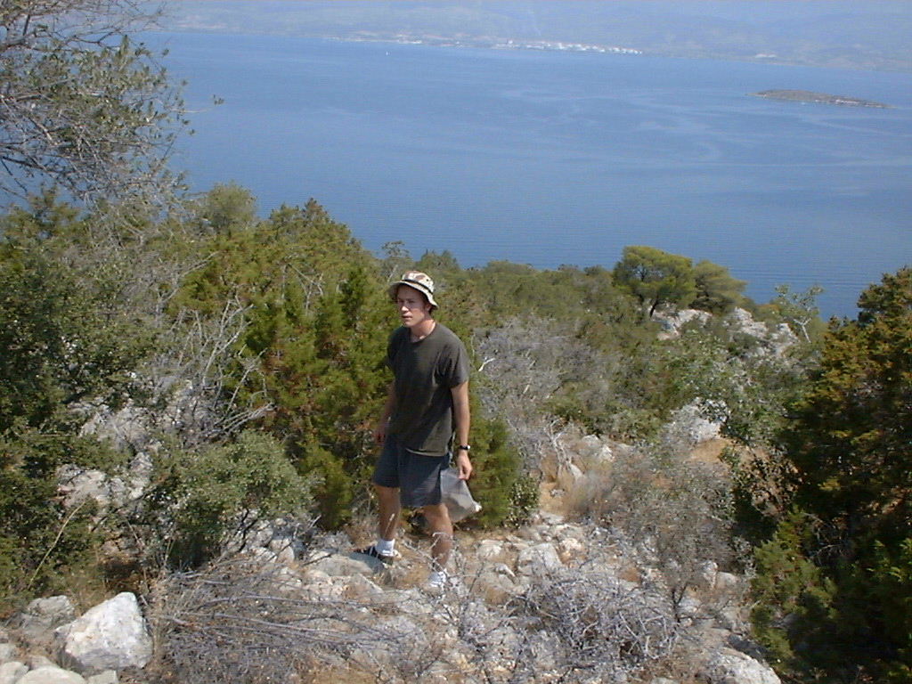
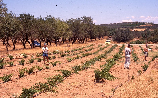
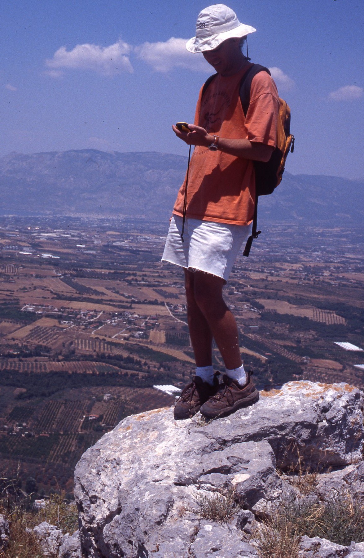
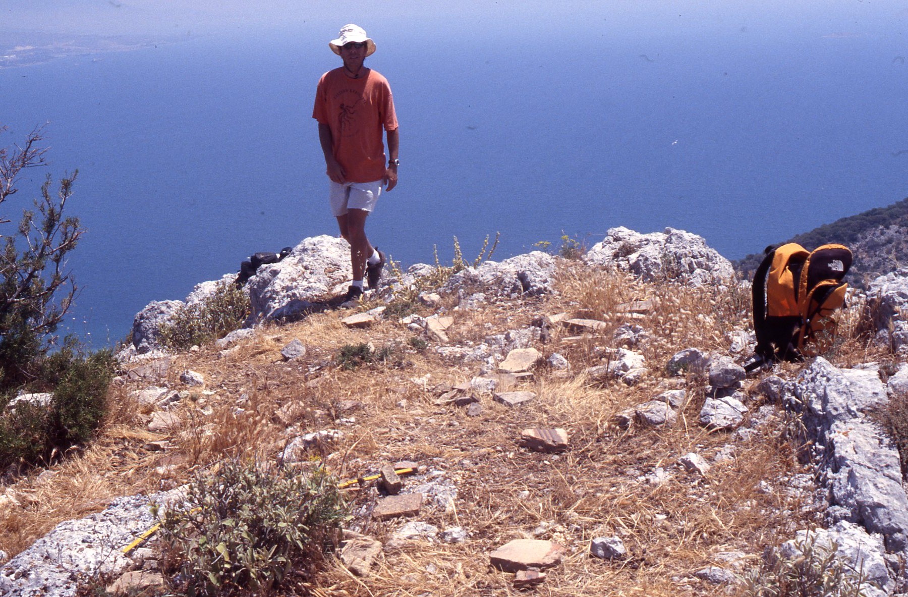
D. Pettegrew surveying at Ano Vayia above Saronic Gulf (2003) 
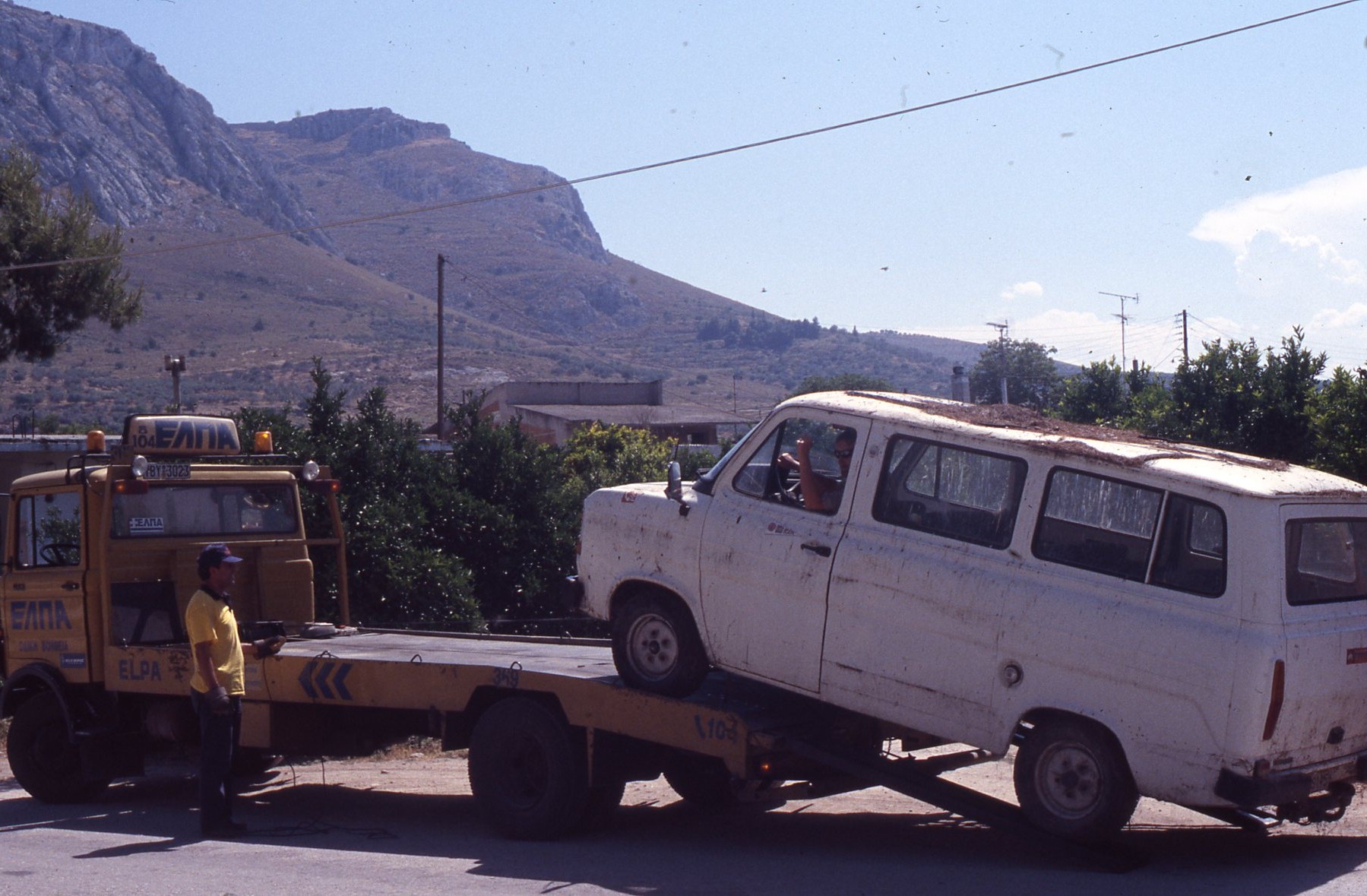
Isthmia van dies. 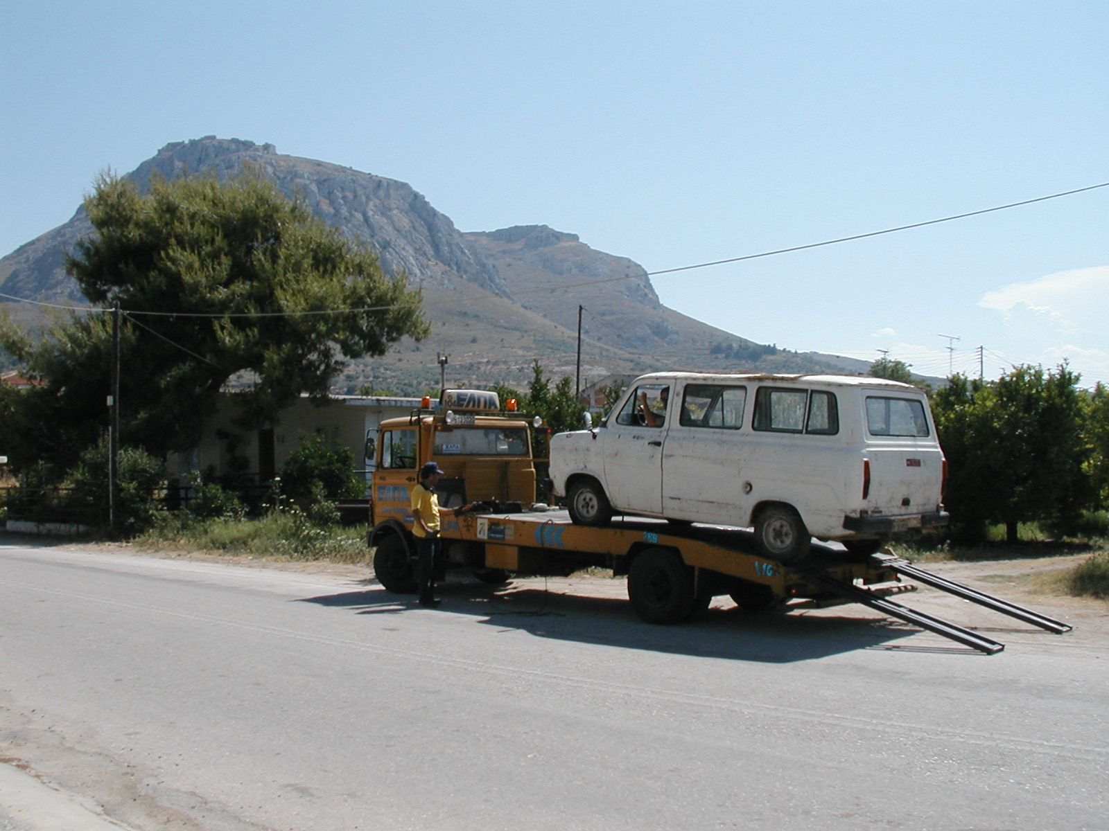
Isthmia van goes away 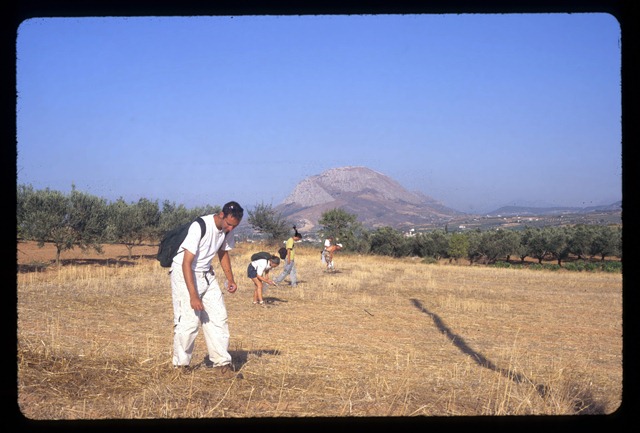

World War II gun emplacement on Ay. Dimitirios Ridge 
World War II gun emplacement on Ay. Dimitirios Ridge 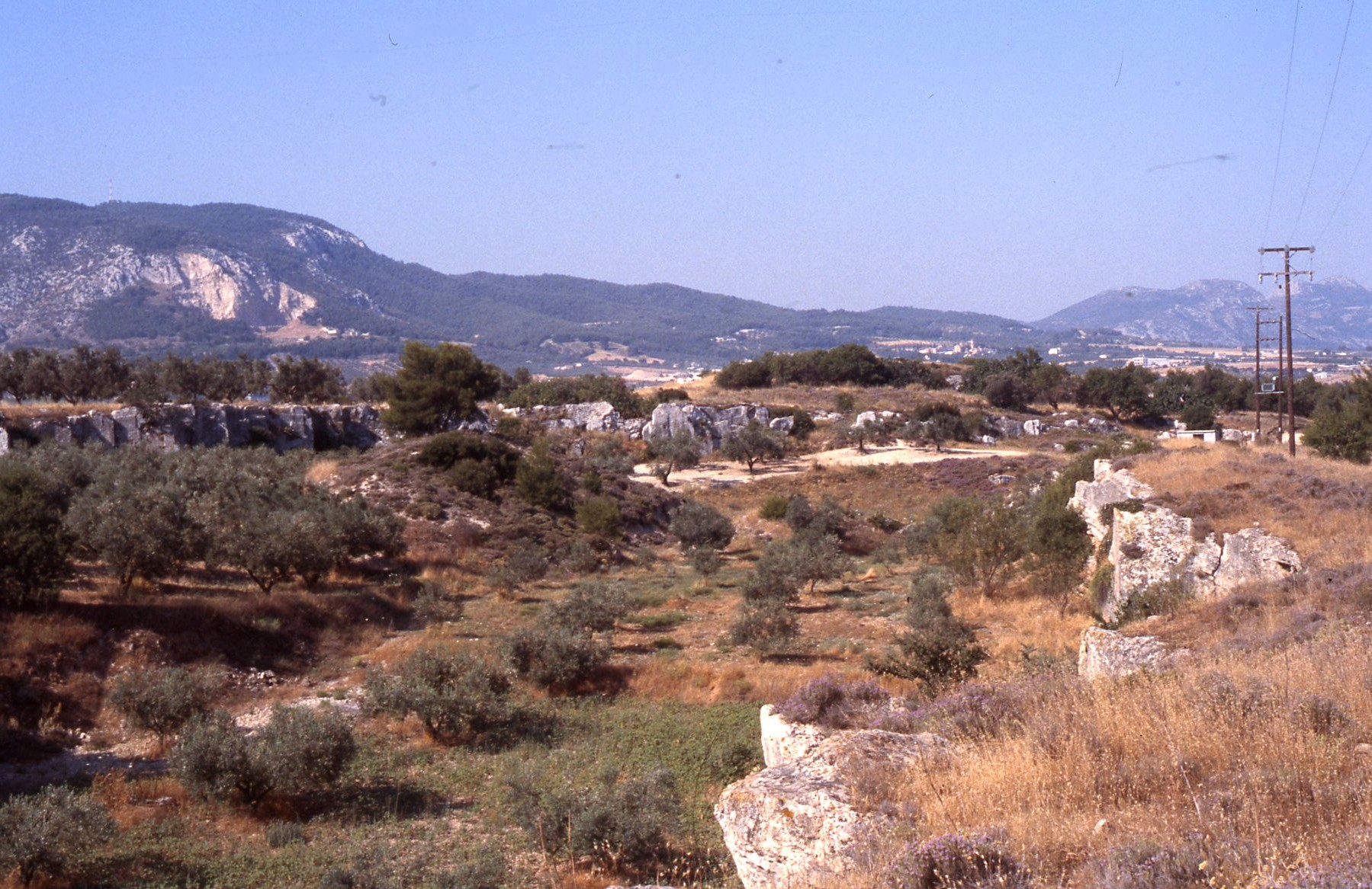
Quarry near Hexamilia 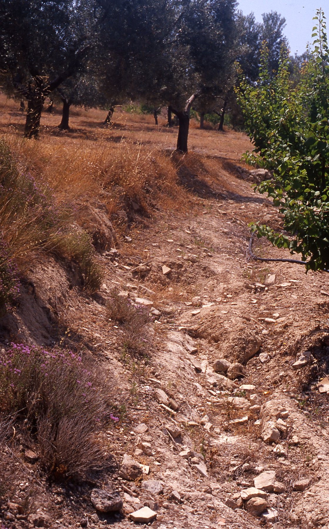
Roman building debris west of Perdhikaria (LOCA 9070) 
Roman building debris (LOCA 9070) 
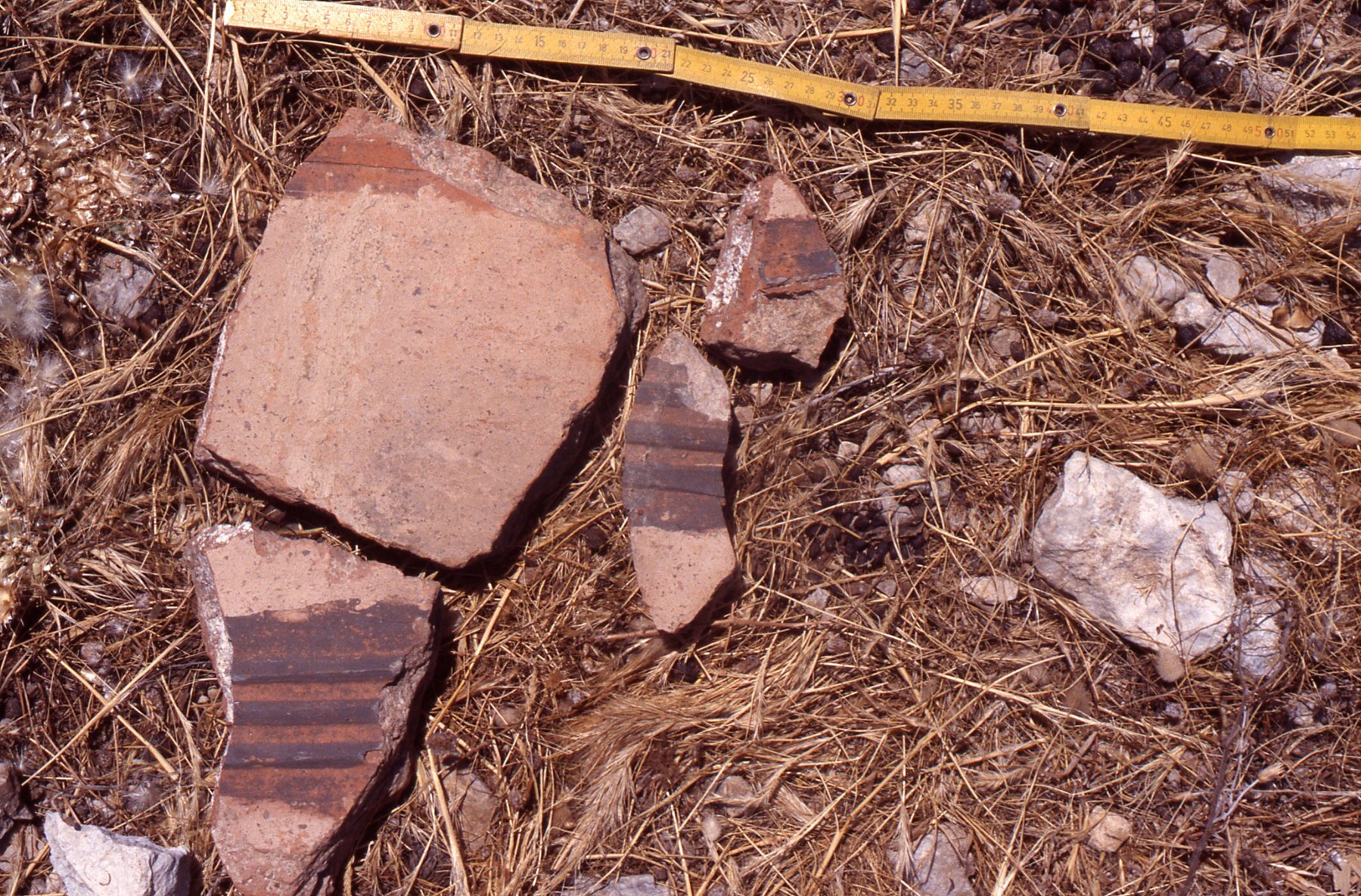
LR combed ware sherd from Roman building (LOCA 9070) 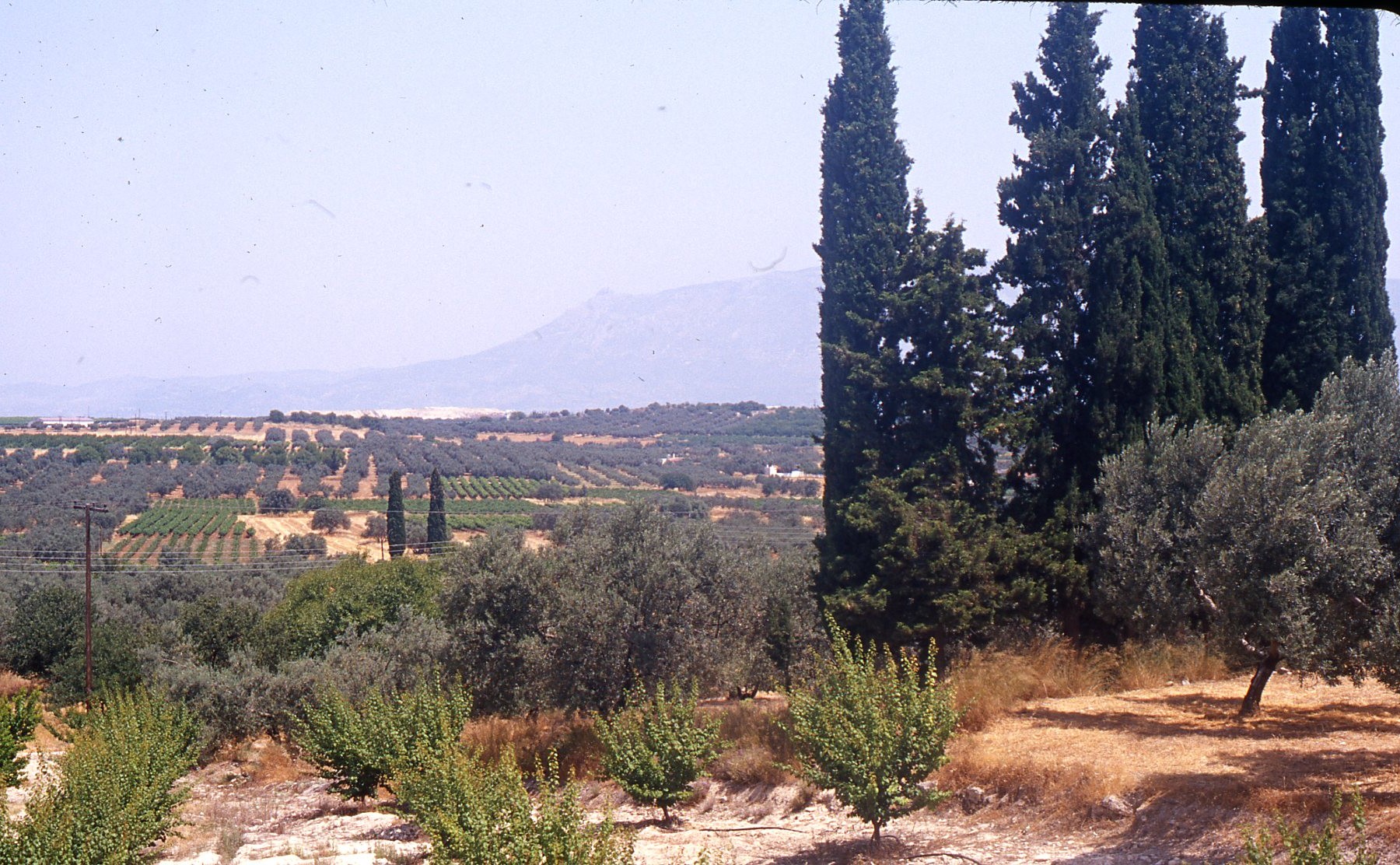
Roman site west of Perdhikaria (LOCA 9070) 
Roman building debris at LOCA 9070 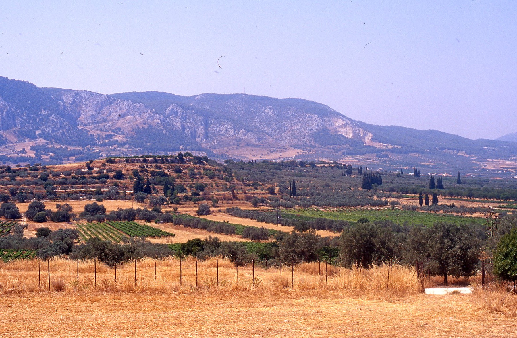
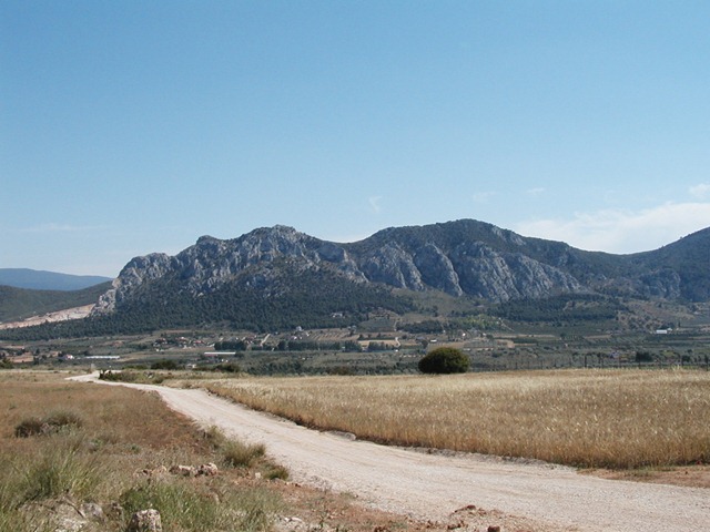
Perdhikaria Ridge viewed from Kromna 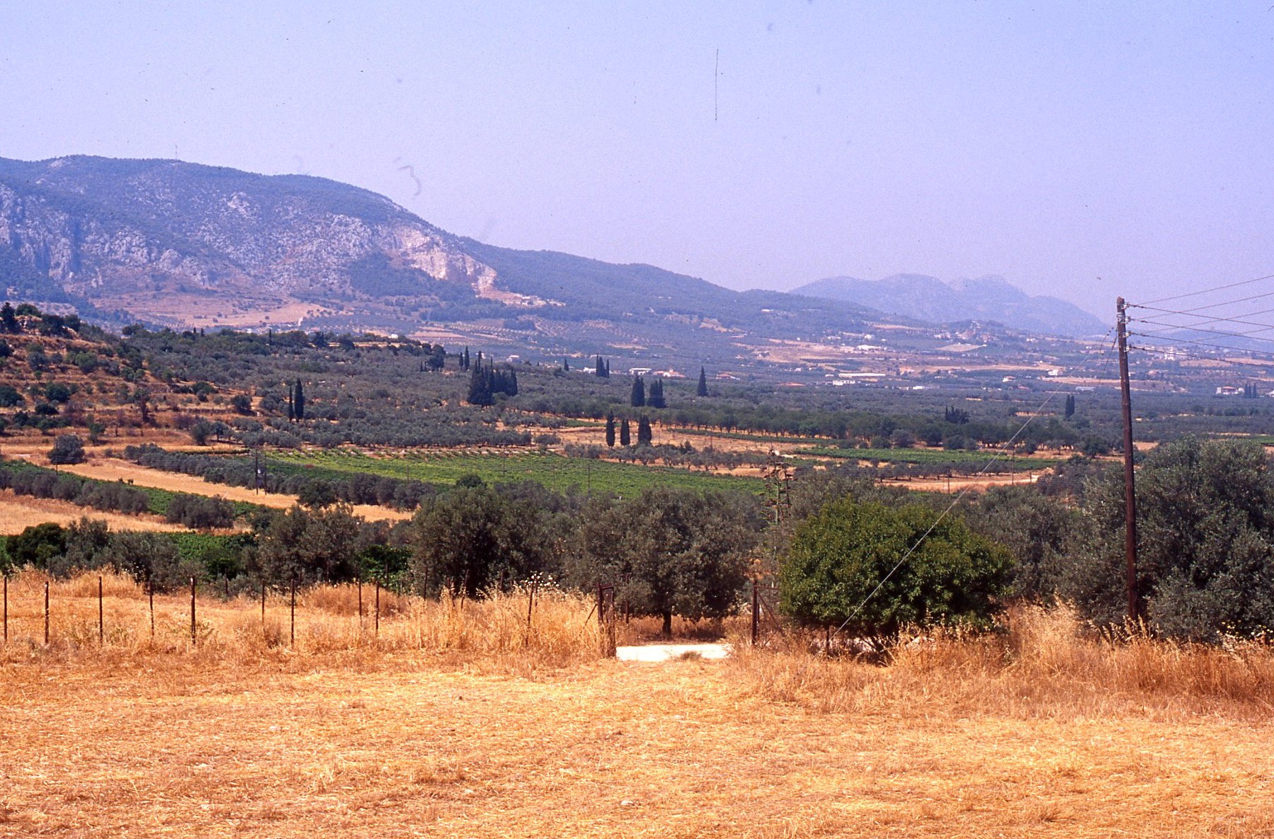
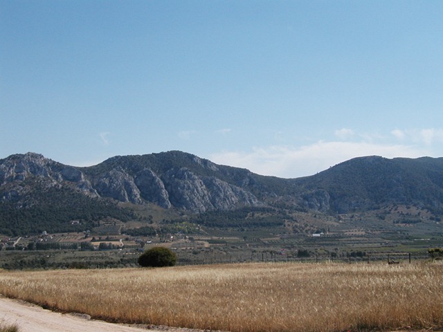
Perdhikaria Ridge viewed from north 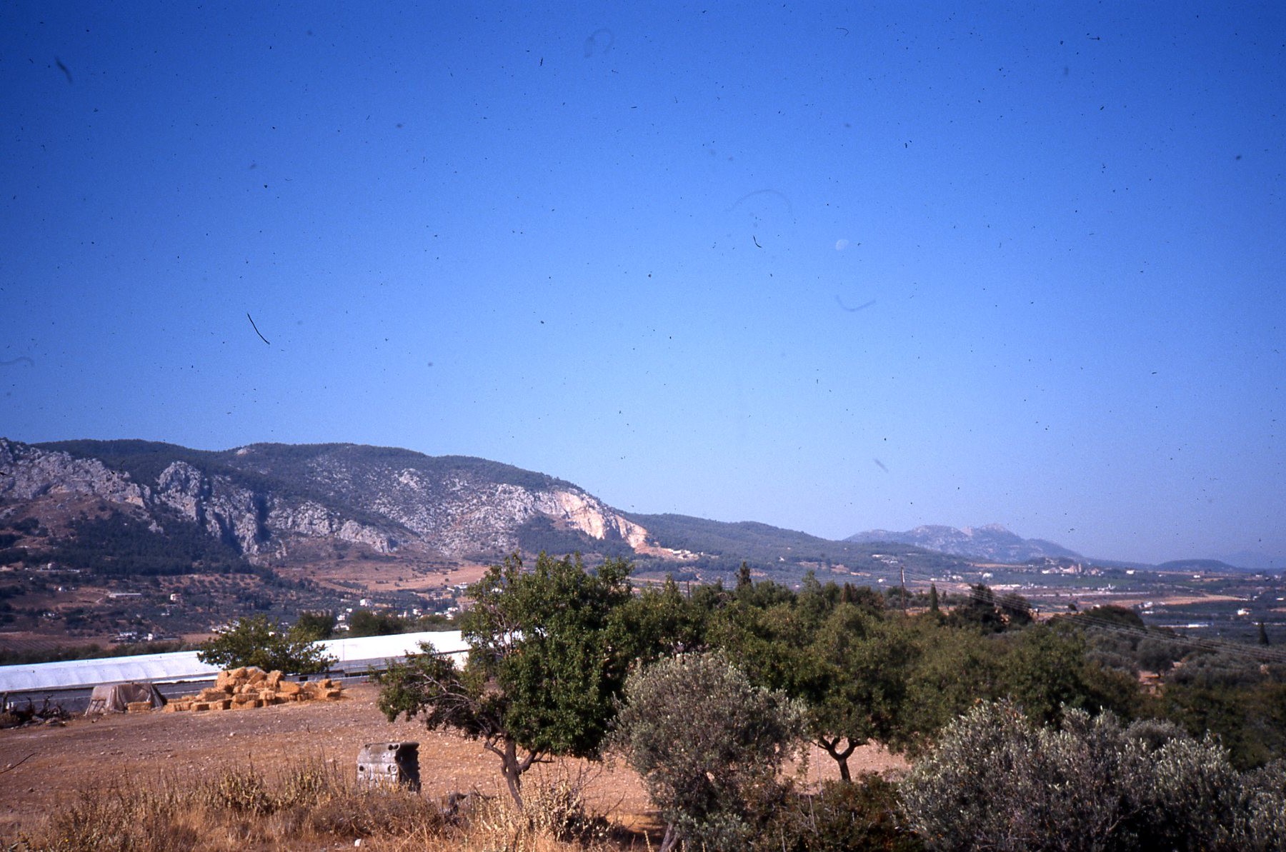
Modern buildings on Perdhikaria Ridge 
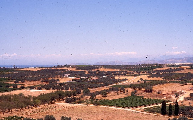
Acrocorinth from Perdhikaria 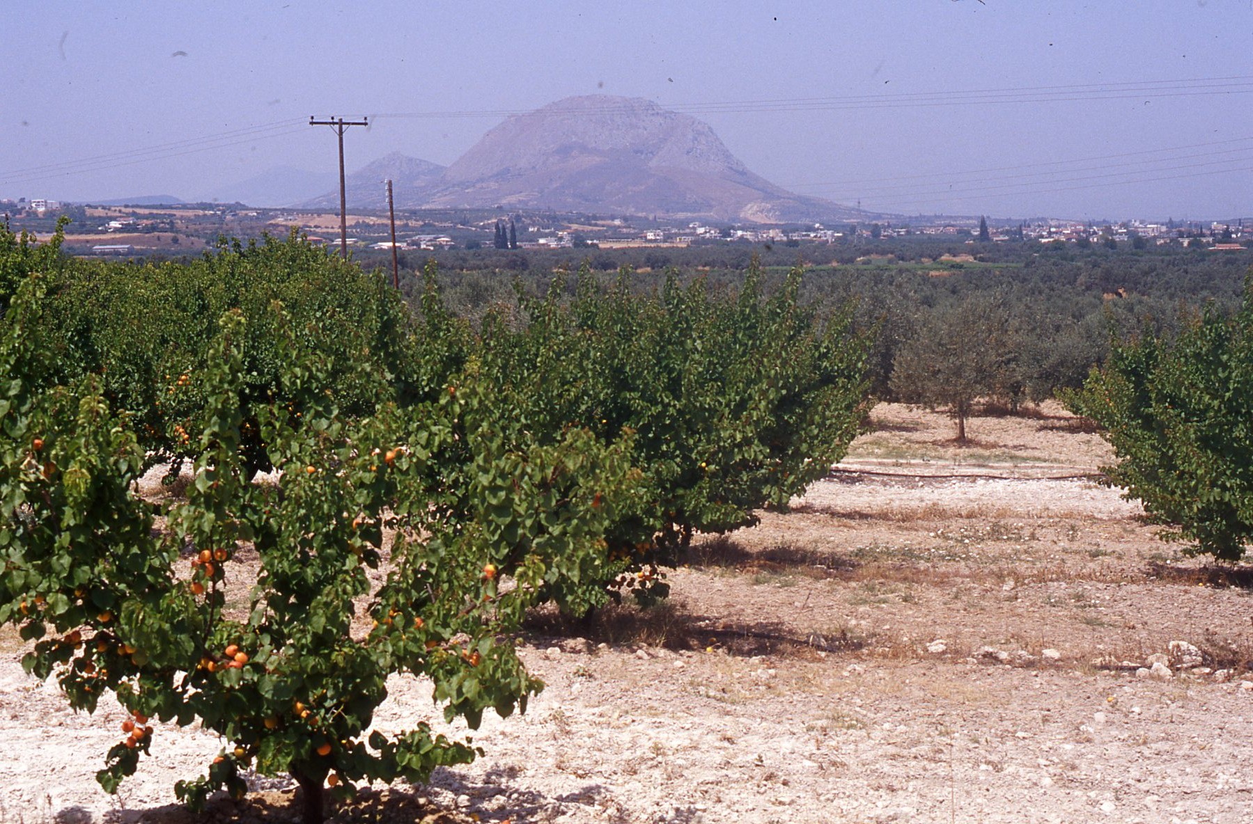
Acrocorinth from Roman site below Perdhikaria 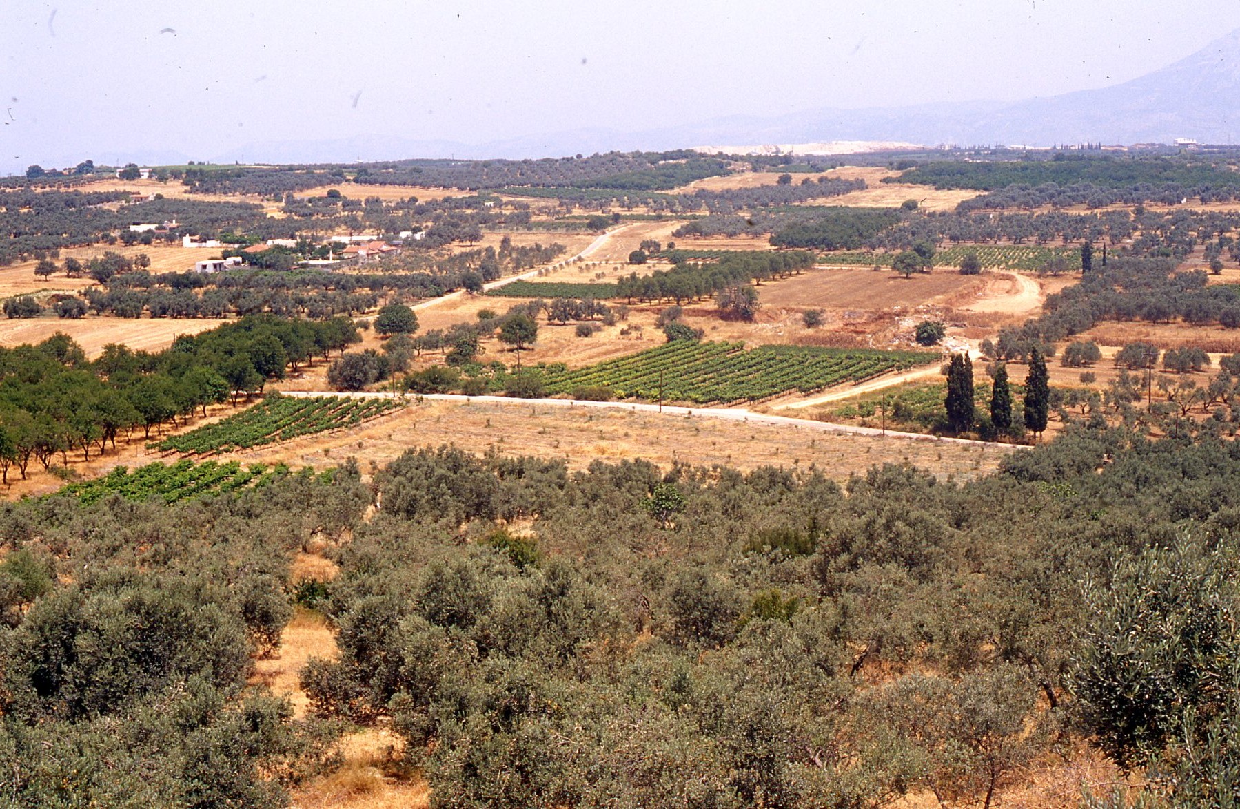
View north from Perdhikaria 
View north from Perdhikaria 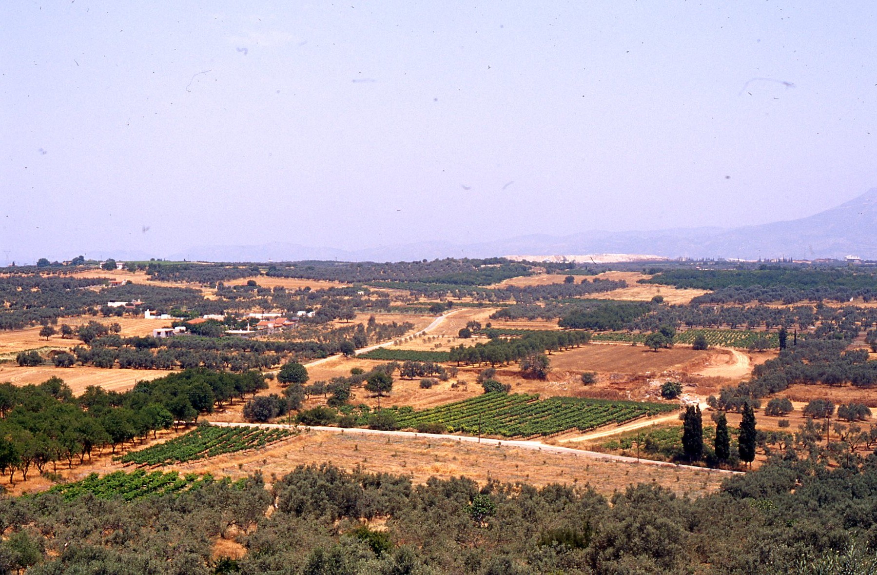
“Plowed Field” Roman villa site (LOCA 9221) 
“Plowed Field” Late Roman villa site (LOCA 9221) 
“Plowed Field” Late Roman villa site (LOCA 9221) 
“Plowed Field” Late Roman villa site (LOCA 9221) 
Investigating Late Roman and Byzantine surface remains in recently plowed field (9221) 
Column fragment from the plowed field (LOCA 9221) 
Column fragment from the plowed field (LOCA 9221) 
Column fragment from the plowed field (LOCA 9221) 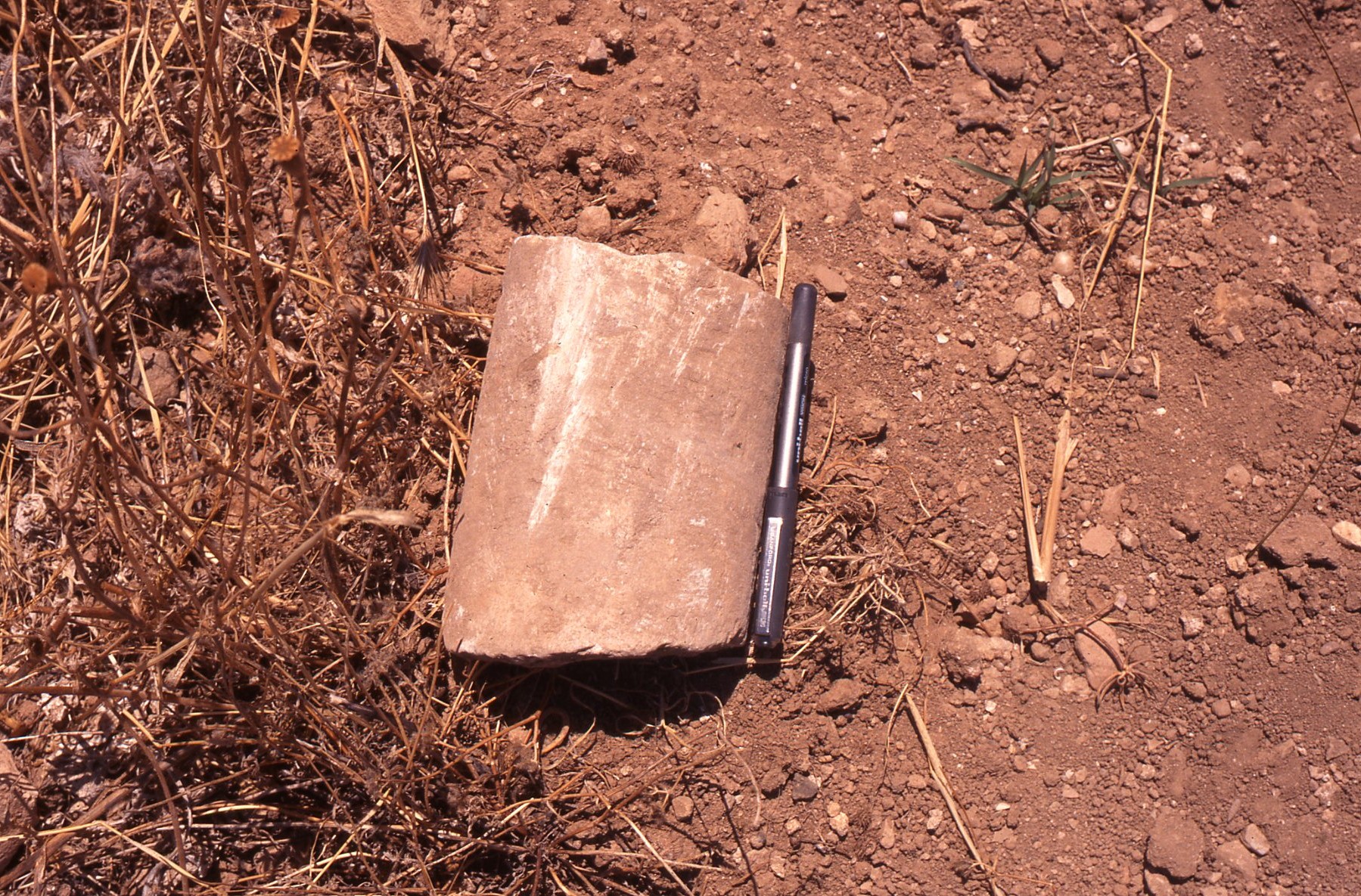
Column fragment from the plowed field (LOCA 9221) 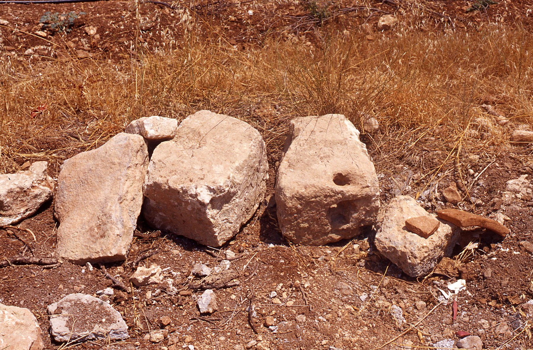
Building remains at Roman villa (LOCA 9228) 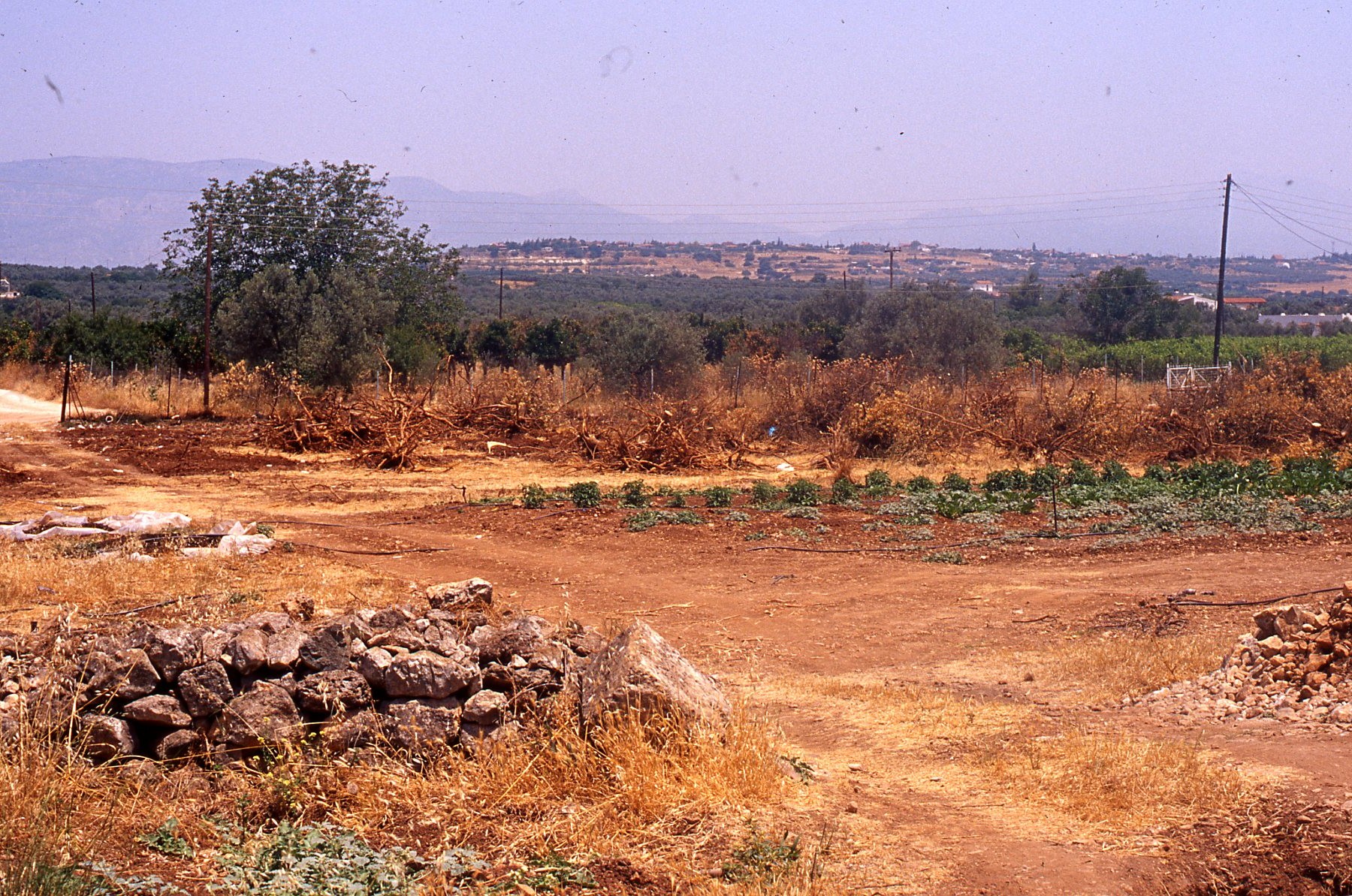
LOCA 9228. Building remains from recent bulldozing at villa 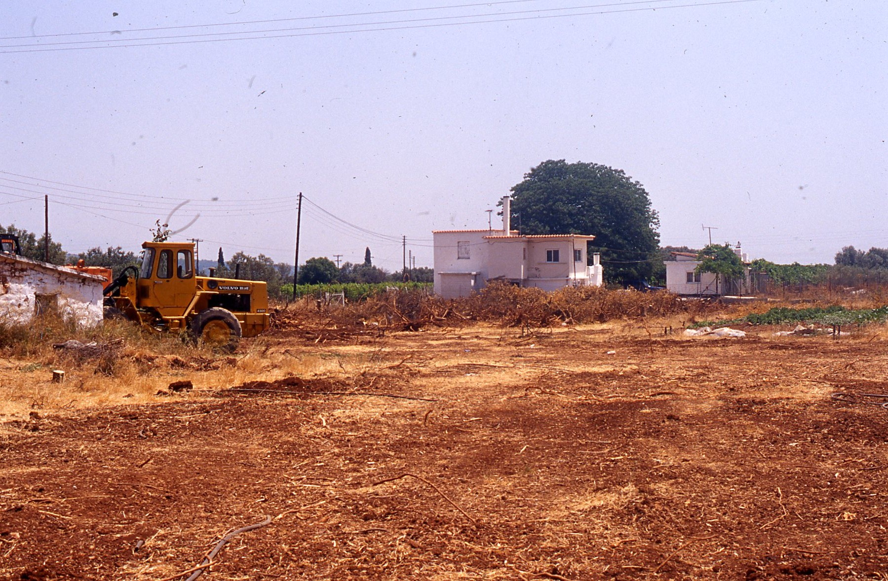
LOCA 9228. Villa of the Pig Dog, recently scraped by bulldozer 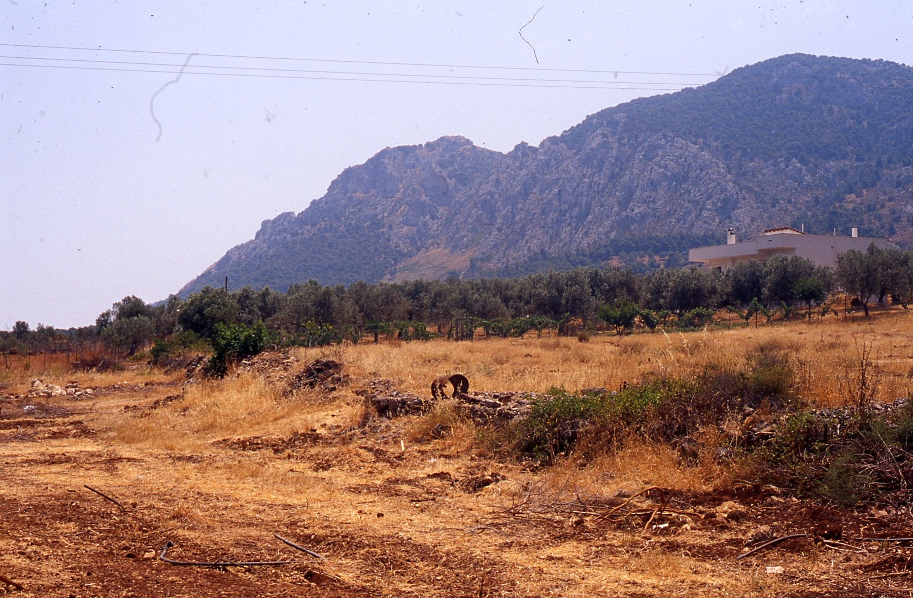
LOCA 9228. Villa of the Pig Dog, scraped by bulldozer 


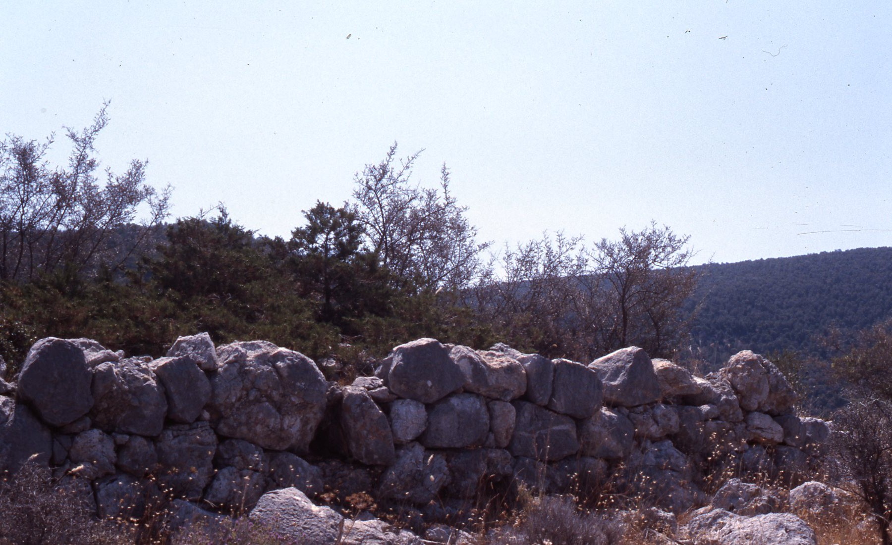
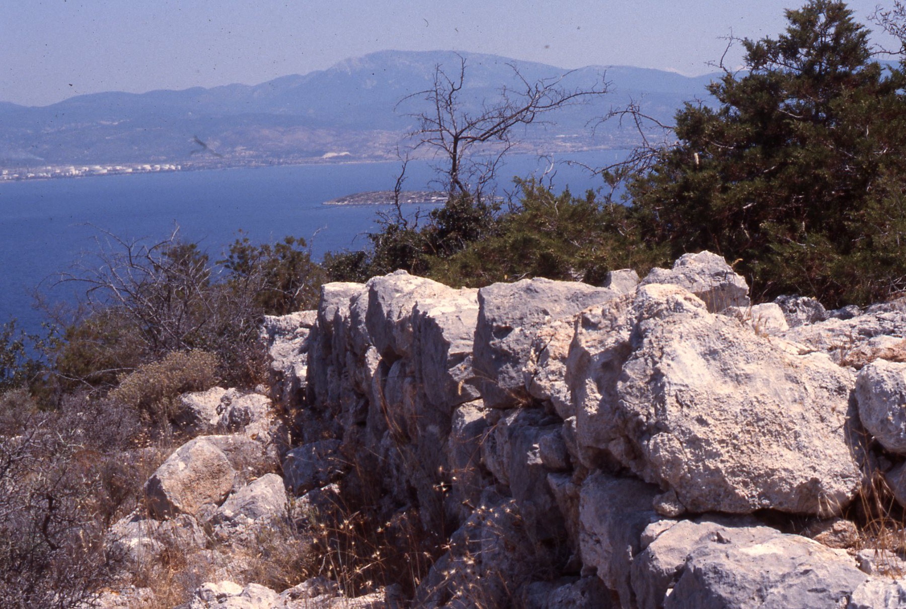
LOCA 9003 – Site of Classical-Roman sanctuary 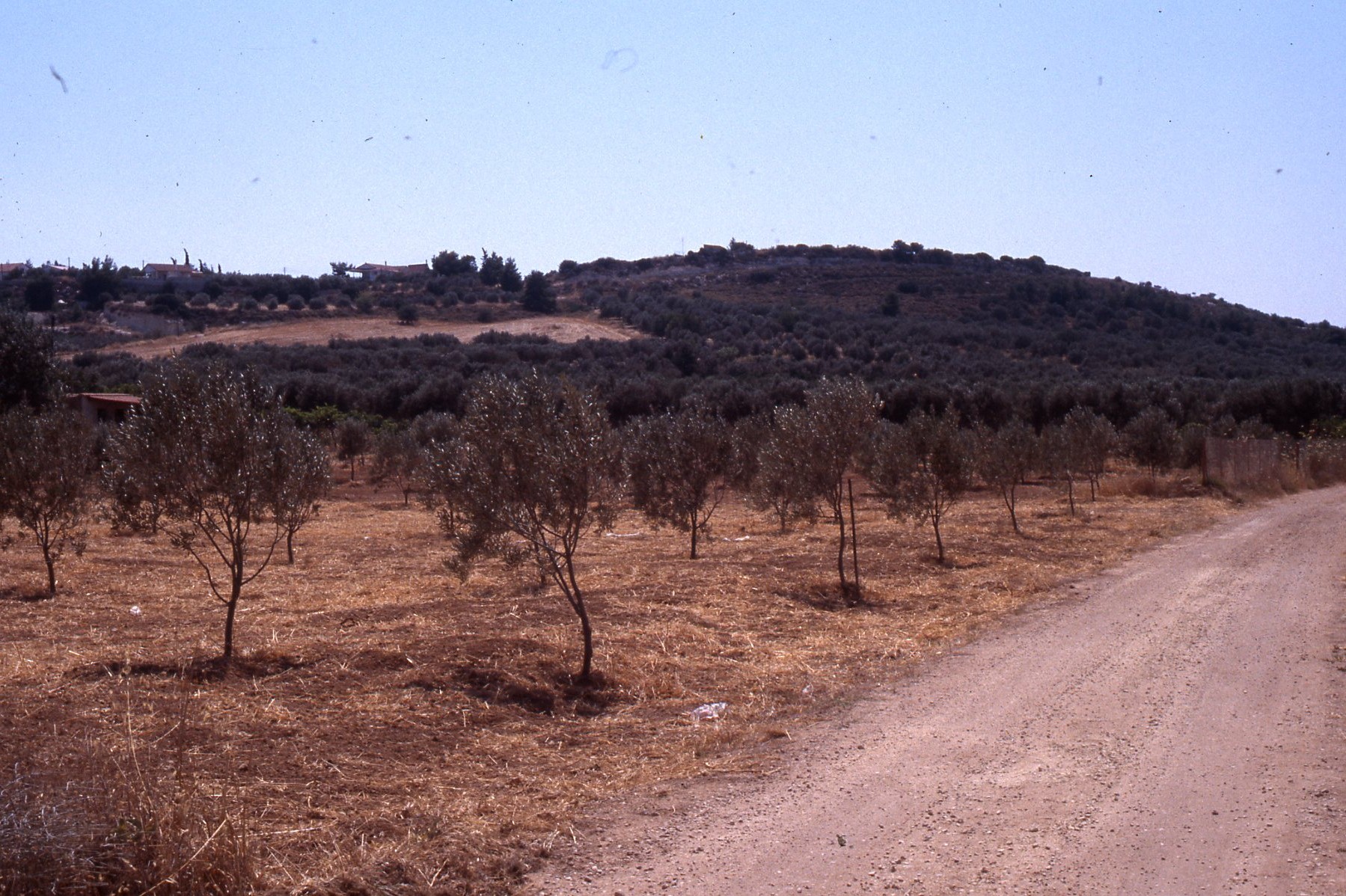
LOCA 9003 – Site of Classical-Roman sanctuary 
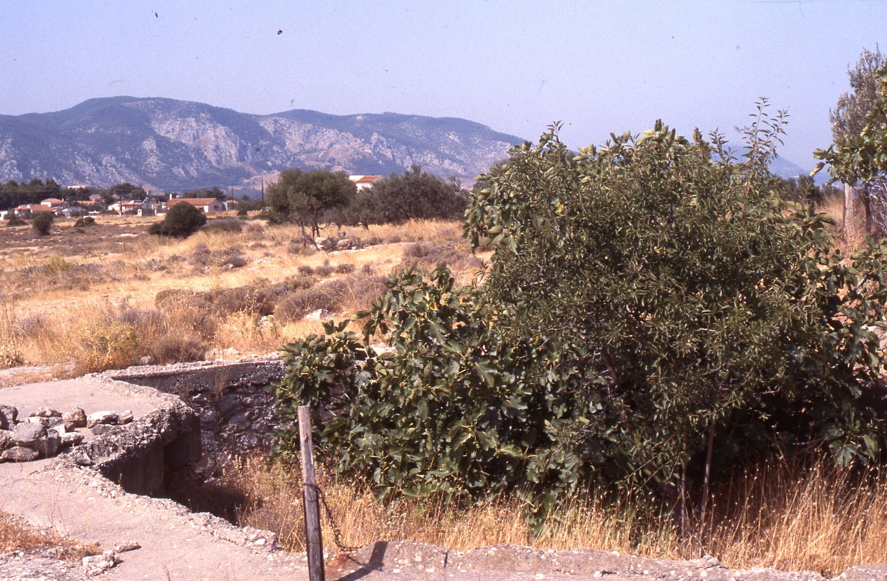
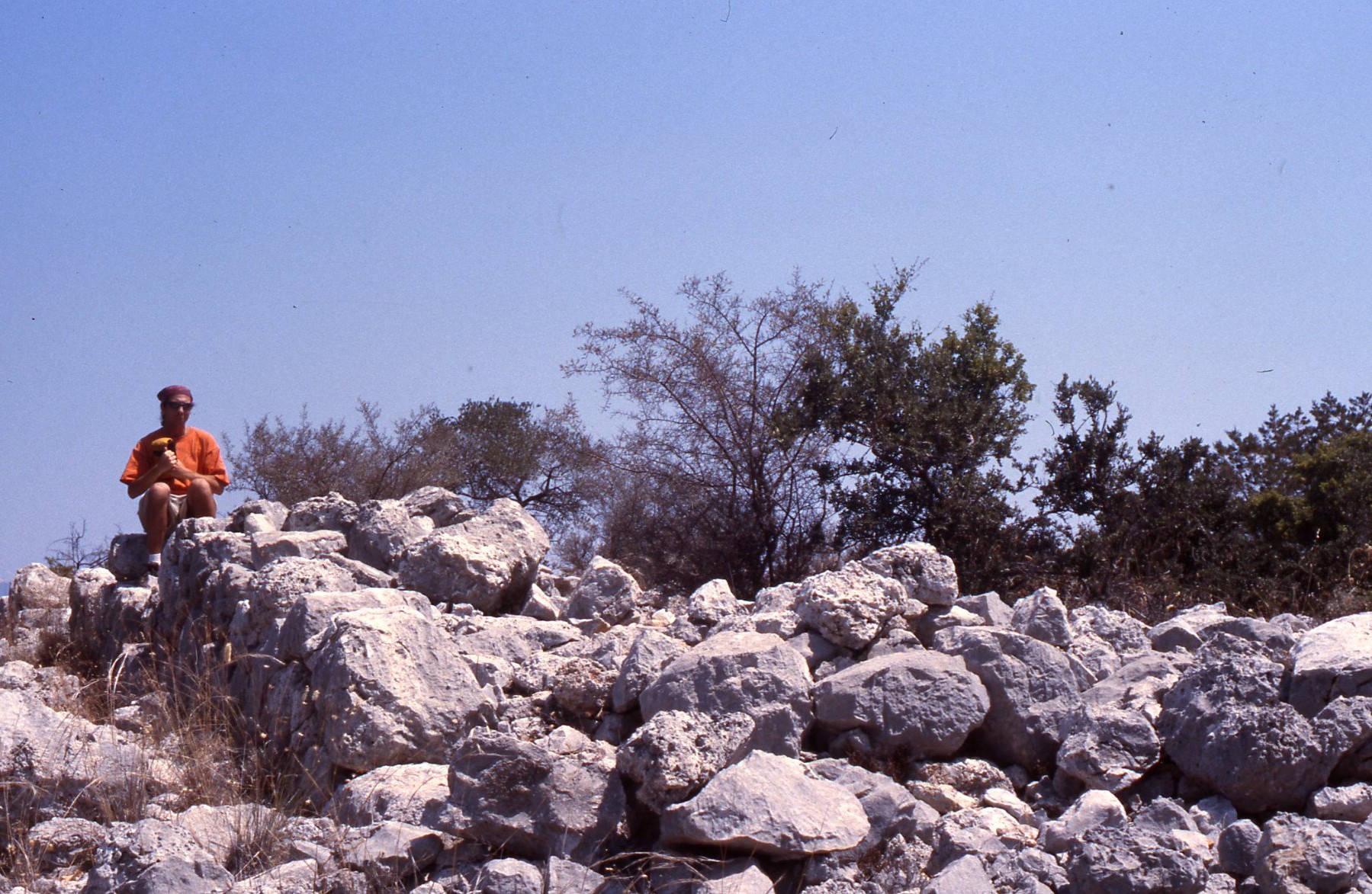
LOCA 9130. Ritual dining room. 
The stone couches of LOCA 9130, a ritual dining room. 
LOCA 9132. Hellenistic-Early Roman Olive Press 
W. Caraher in the quarries at Kromna 
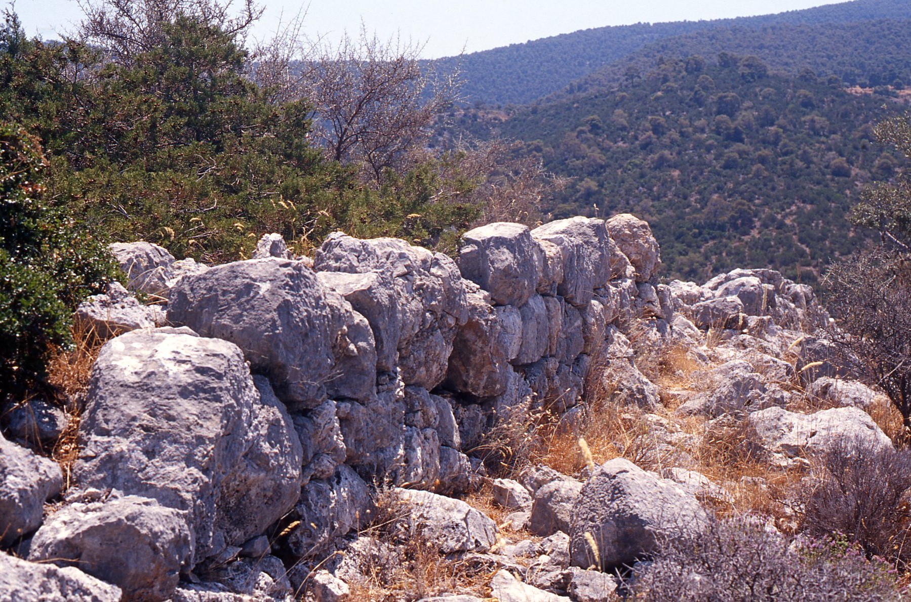
Mortuary LOCA #9 and LOCA 9006, from east 
Mortuary LOCA #9 / LOCA 9006, from east. 
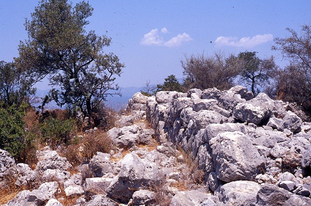
Mortuary LOCA #9 (from LOCA 9006 – ridgetop) 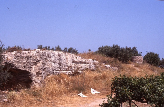


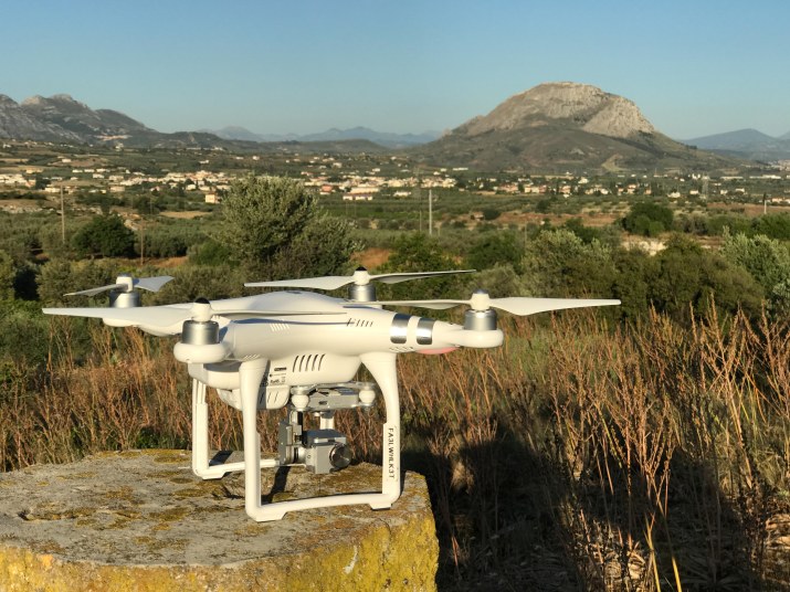
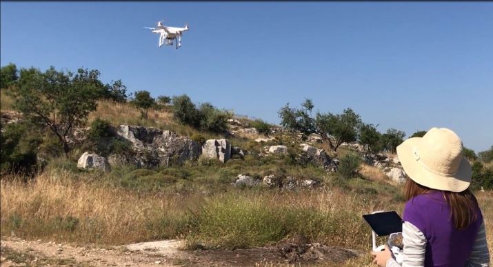
Drone on the Isthmus. Photo by Albert Sarvis, May 2017. 
Scroll through the slides above to view images of the Eastern Korinthia Survey.
