The American School of Classical Studies Excavations at Corinth continues to add digital resources that will be of interest and use to archaeologists, tourists, teachers, preachers, writers, and the broader public. In the past, I’ve covered their Field Trip App, which allows anyone with a mobile phone to take a virtual tour of Ancient Corinth with expert summary descriptions, photos, and bibliography in hand. Then there’s this excellent page devoted to GIS and historical maps of the Corinthia where users can access ready-made maps of the city and region, or build their own from downloadable DEMs, cultural and natural layers, basemap images, and shapefiles.
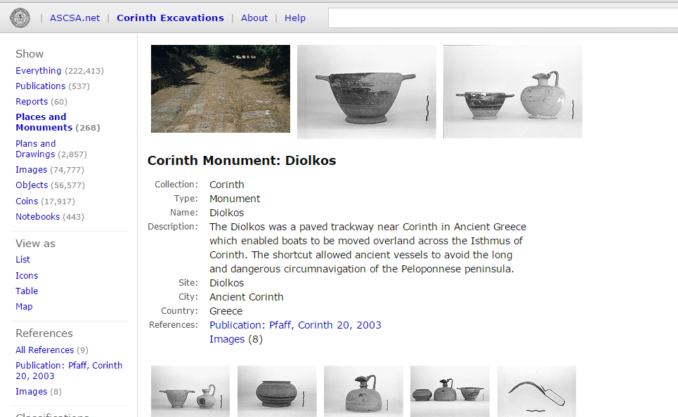
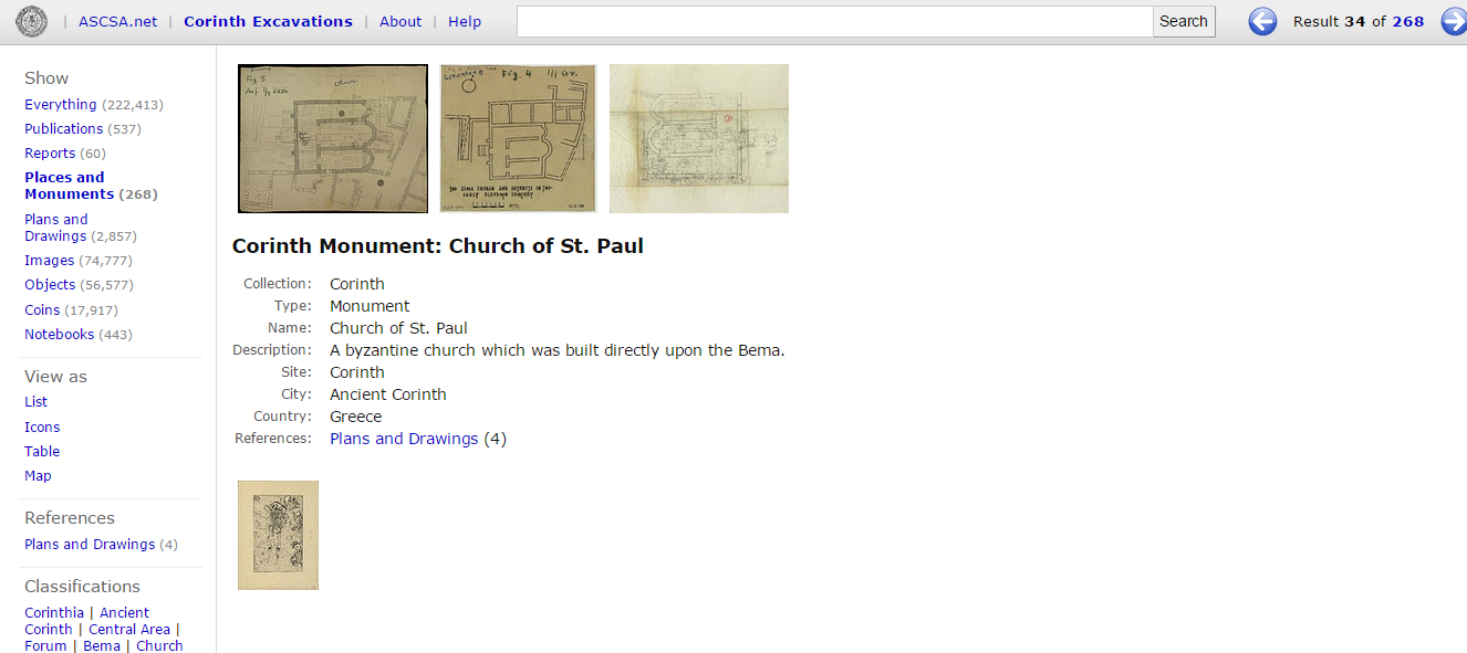
As a big fan of gazetteers (I’ve been working on one for the eastern Corinthia for years now), I would like to draw attention to this Places and Monuments table. The page provides a standard set of metadata related to some 268 sites and monuments. Coverage is best for the urban center, of course, but I also noted quite a few sites in the broader region. The gazetteer also includes associated photographs, plans, and maps. The summary information is on the short side but the associated media and bibliography make this great place to start for researching and learning about particular places in the region.
Standardized data looks like this:
| Collection: | Corinth | |
| Type: | Monument | |
| Name: | Acrocorinth | |
| Description: | Acrocorinth (575 meters high) was described by the Roman historian Polybius as one of the “fetters of Greece” because it controlled not only the route across the Isthmus, but also the pass between the Isthmus and Mount Oneion leading south towards Cleonai and Argos, and the coastal road west to Sikyon. The earliest fortifications now extant date to the later 4th century B.C. These were breached by Demetrius Poliorcetes from the location of the Sysipheum and later reduced and rendered indefensible by Mummius in 146 B.C. The present fortifications largely represent work and rework of the Byzantine, Ottoman, Venetian and Early Modern periods. Within the walls are the remains of the Ottoman period described by various travelers including Evliya Çelebi in 1668 and Wheler and Spon in 1676. They include the remains of mosques, fountains and houses. Next to the Upper Peirene fountain are the barracks of King Otto’s Bavarian garrison. | |
| Site: | Acrocorinth | |
| City: | Ancient Corinth | |
| Country: | Greece | |
| References: | Publication: Blegen et al., Corinth 3.1, 1930 Publication: Carpenter & Bon, Corinth 3.2, 1936 Publication: MacKay, Hesperia 37.4, 1968 Plans and Drawings (13) Images (543) Notebooks (7) |
And several screenshots give you an idea of the content and coverage. Kudos to the Corinth staff for making digital resources a key part of their mission.


Leave a comment