I was pleased to see via a Twitter feed that the Pleiades project received another major round of funding from the National Endowment for the Humanities. According to the announcement from the NEH, the Digital Humanities Implementation Grant of $322,615 will support “substantive changes to the technical and editorial infrastructure for the Pleiades gazetteer project, a geographic dataset for the ancient Mediterranean world.”
Pleiades, if you’re not familiar with it, is a “community-built gazetteer and graph of ancient places.” 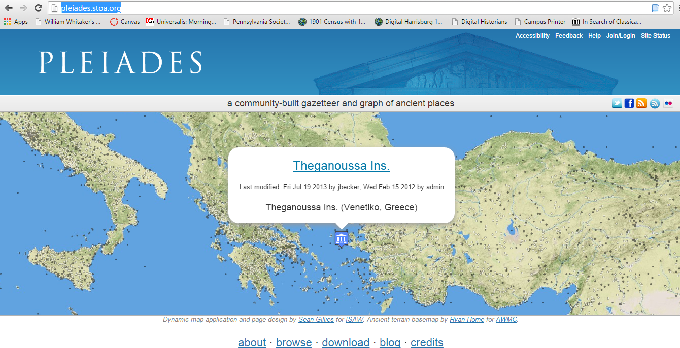 Currently logging nearly 35,000 places, over 30,000 place names, and 39,000 specific locations, the gazetteer “gives scholars, students, and enthusiasts worldwide the ability to use, create, and share historical geographic information about the ancient world in digital form.” Most of the content currently falls within the parameters of the Greek world and the Roman Empire but coverage continues to expand chronologically (into the medieval era) and spatially into northern Europe, the British isles, and the Near East.
The gazetteer was developed from digitized records originally collected for the authoritative Barrington Atlas of the Greek and Roman World (Princeton 2000) but has been supplemented with information added by a growing user community. Pleiades provides an interactive map with clickable places and layers (modern terrain, ancient terrian, Roman Empire, modern streets), simple and complex search features, basic metadata (e.g., names, locations, place type, references), a blog, and downloadable data (for GIS users). If Pleiades has excellent coverage, the gazetteer can be improved in resolution at the regional scale.  A search for Corinth, for example, returns only 27 entries (that number increases to over 100 if one searches via “Corinth*”) that represent mostly items from the Barrington Atlas.
The metadata can also be developed significantly. The entry for Isthmia, for example, looks like this.
 Content and resolution will undoubtedly improve as the user community continues to add data sets. Even now, Pleiades provides a useful way of viewing Corinthian places within the wider landscapes of the Greek and Roman Mediteranean.
The NEH Digital Humanities Implementation Grant marks another step forward for digital archaeology / humanities in the Greek and Roman world. And two years in a row for Mediterranean projects. Visitors may recall our announcement last year of the digital humanities implementation grant awarded to Professor Jon Frey for the digitization of excavation records at Isthmia (and Frey’s overview here).

Leave a comment